Day 2: Bitter Creek to Entrada Bluffs
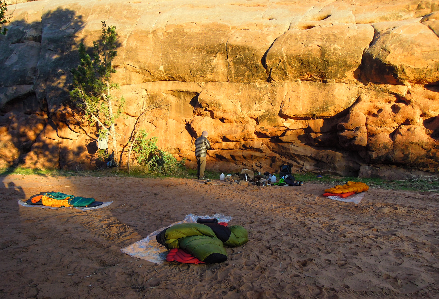
The view from our camp at Bitter Creek
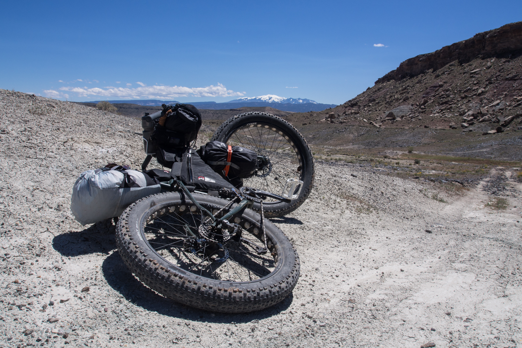
Luckily the wind died down that night and we all slept pretty well. The sun came up awfully early it seemed, but with those wide open desert spaces, there are no mountains to block the rising sun. The views from the top of this plateau were spectacular, from the canyons below to the far off La Sals. We had a fairly leisurely morning, cooked breakfast, packed up and were on the trail by 9:00 am.
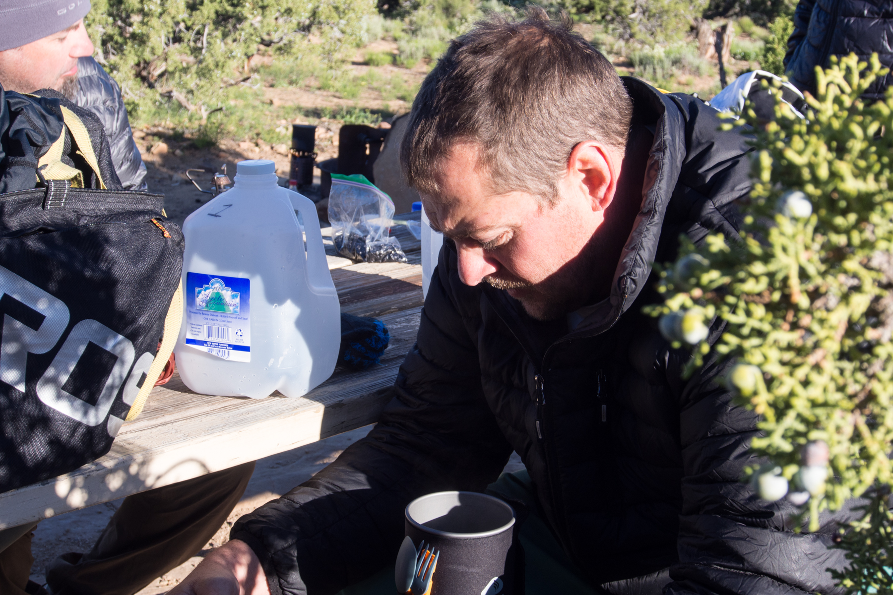
Breakfast
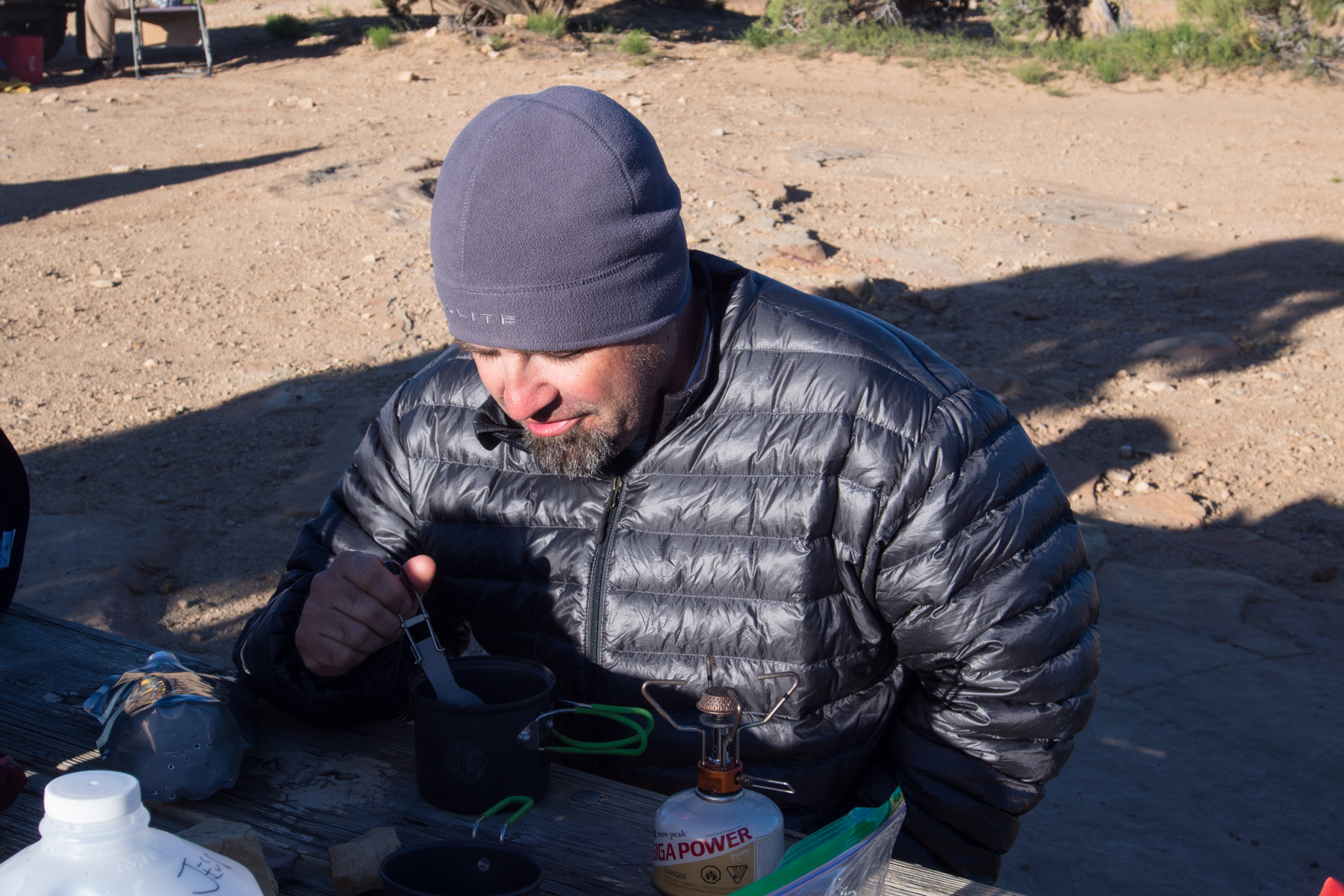
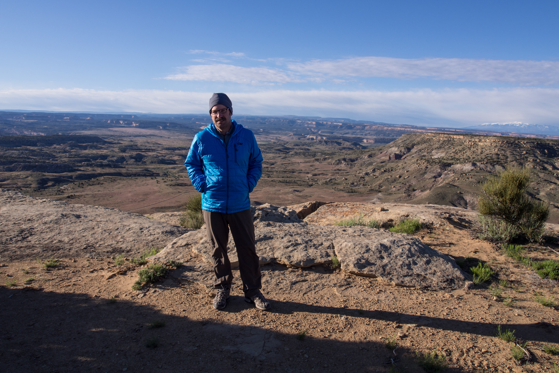
Cool, crisp morning in the desert at 5,000′
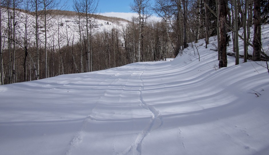
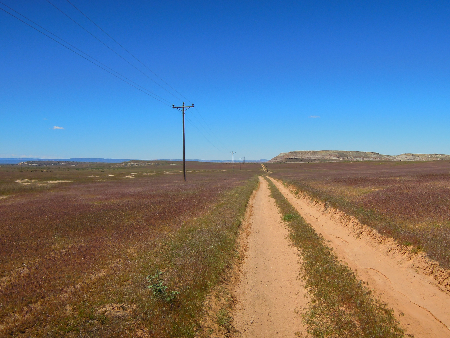
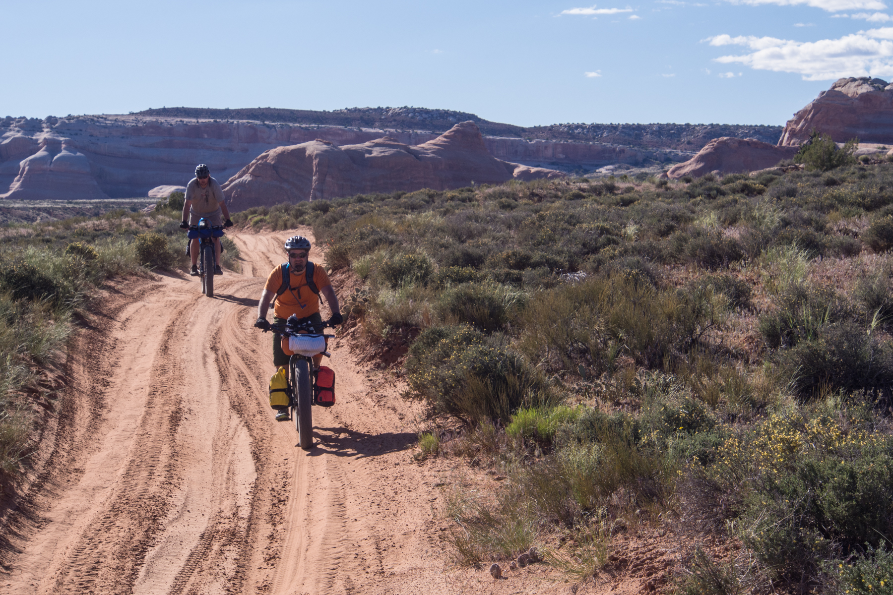
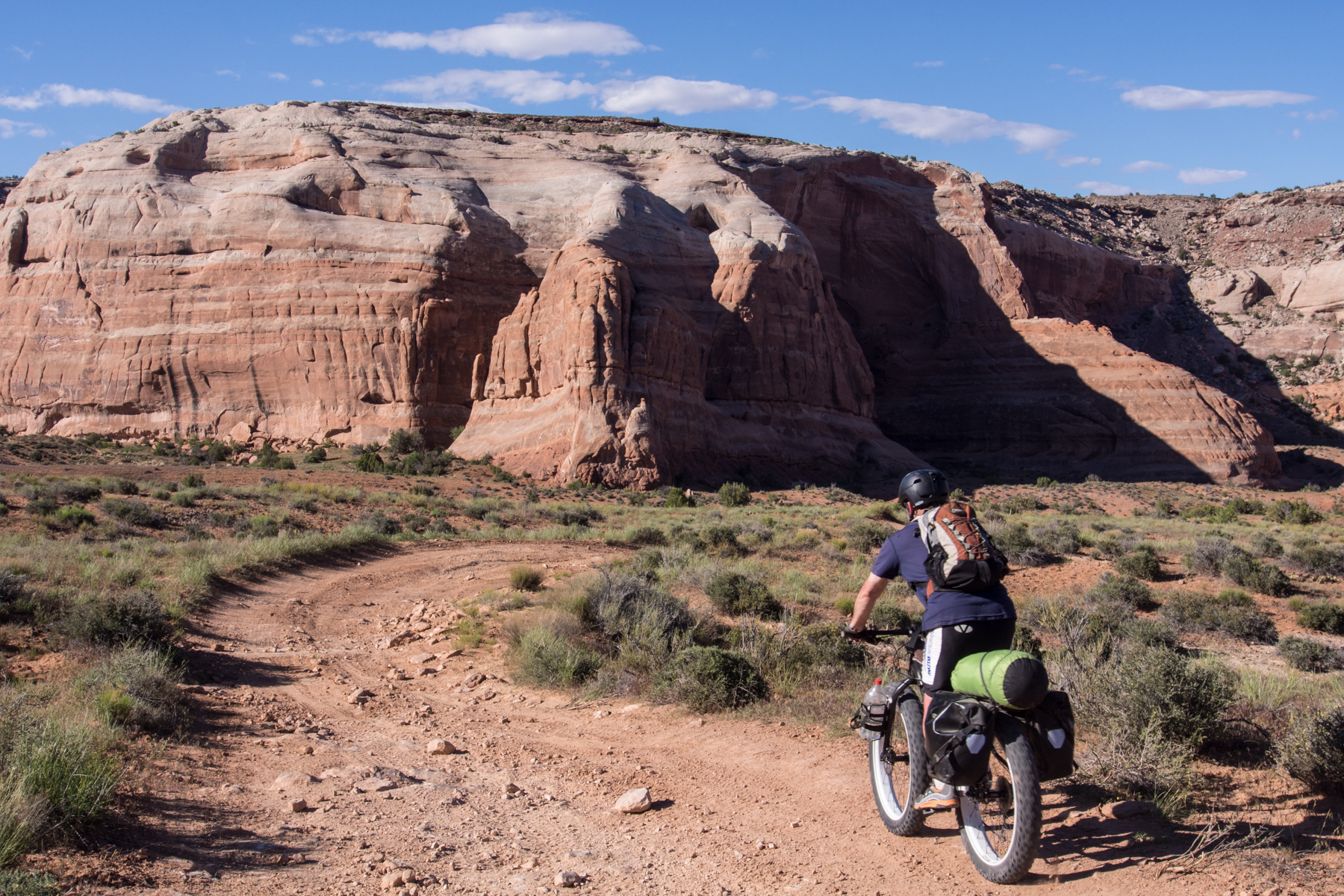
The riding was pleasant across the plateau on sand and dirt and rocky double track. This was followed by a fast, fun, winding descent off the plateau to the Westwater Road.
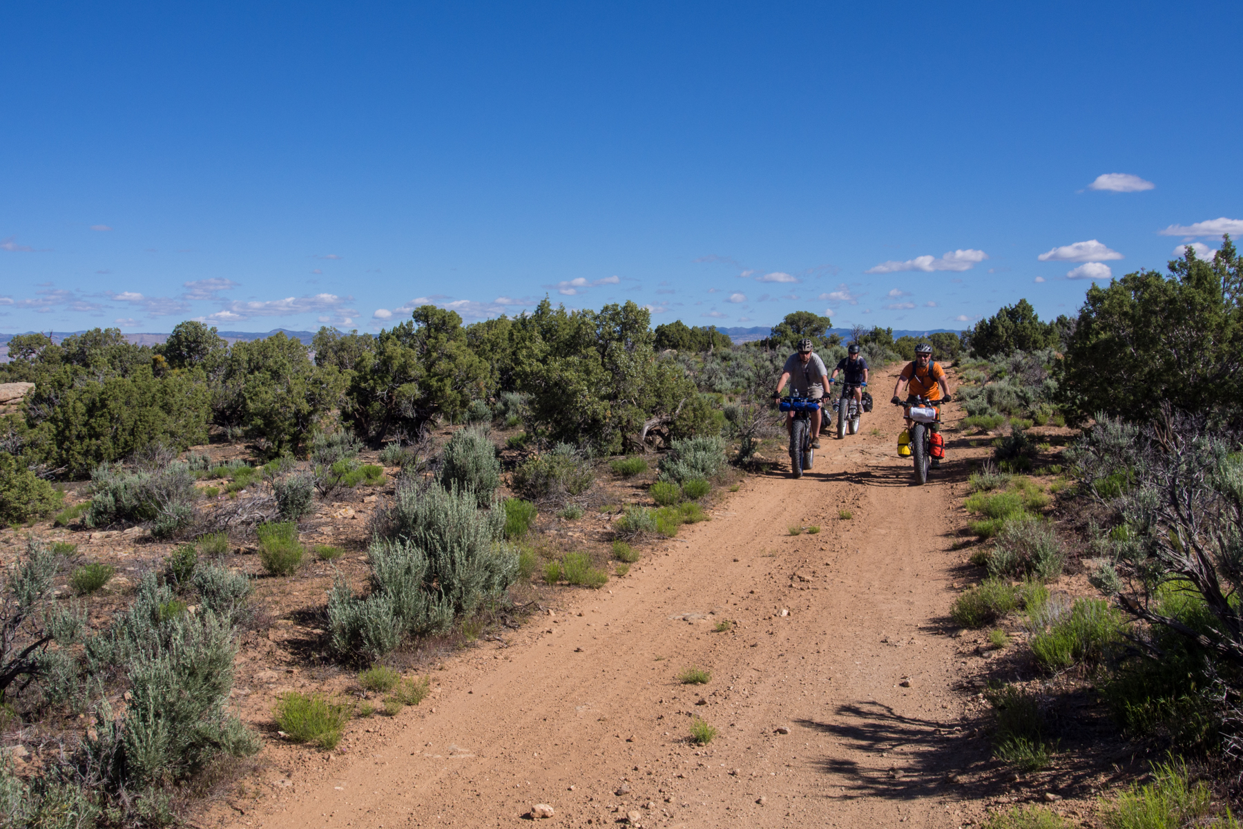
Riding along on the plateau
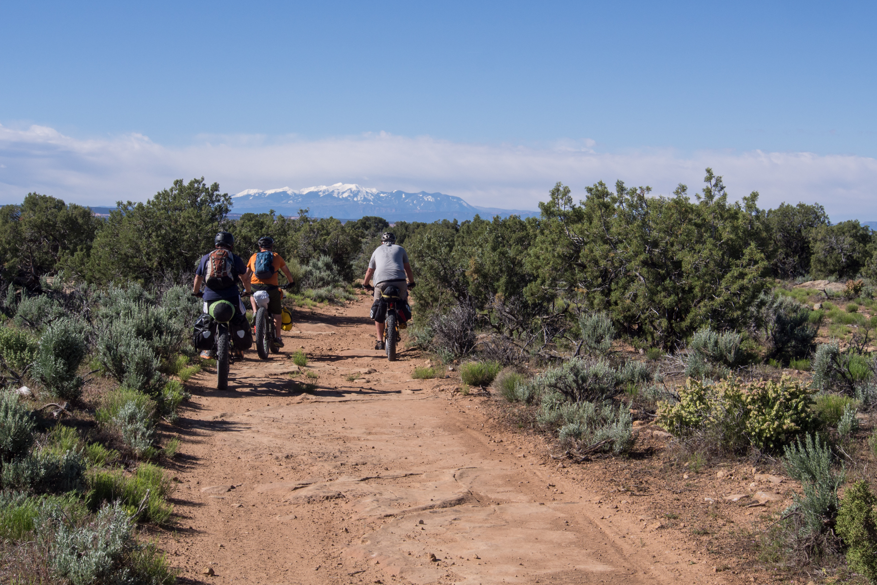
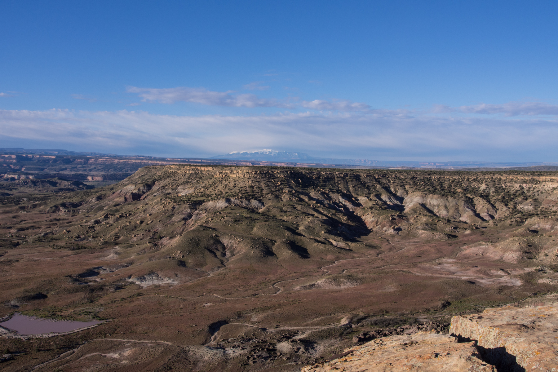
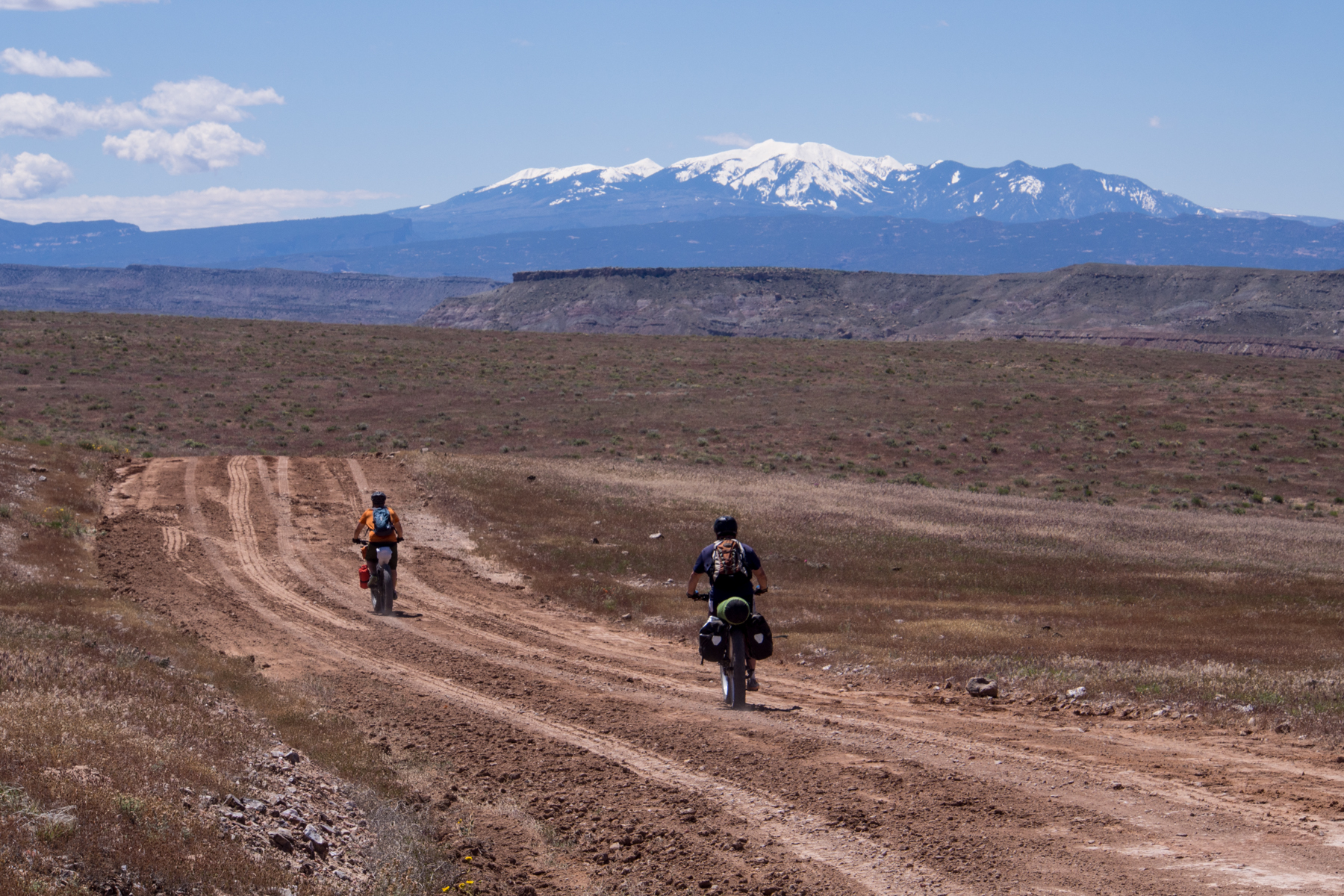
The La Sals getting a little closer
Here we met up with a couple guys who grew up together in Baltimore. We had been leap-frogging them all day the first day. They also camped up at Bitter Creek the night before. They had cached water here at the junction of Westwater Road and were eating breakfast when we arrived. We were comforted in knowing that this was a tough ride for them as well, especially comforting to us because these were young, fit, 20 somethings. After about 4 miles on pavement, we turned off onto trail again. Along the paved road we ran into a couple herds of sheep guarded over by beautiful white Kuvasz dogs. They barked a lot but were not aggressive.
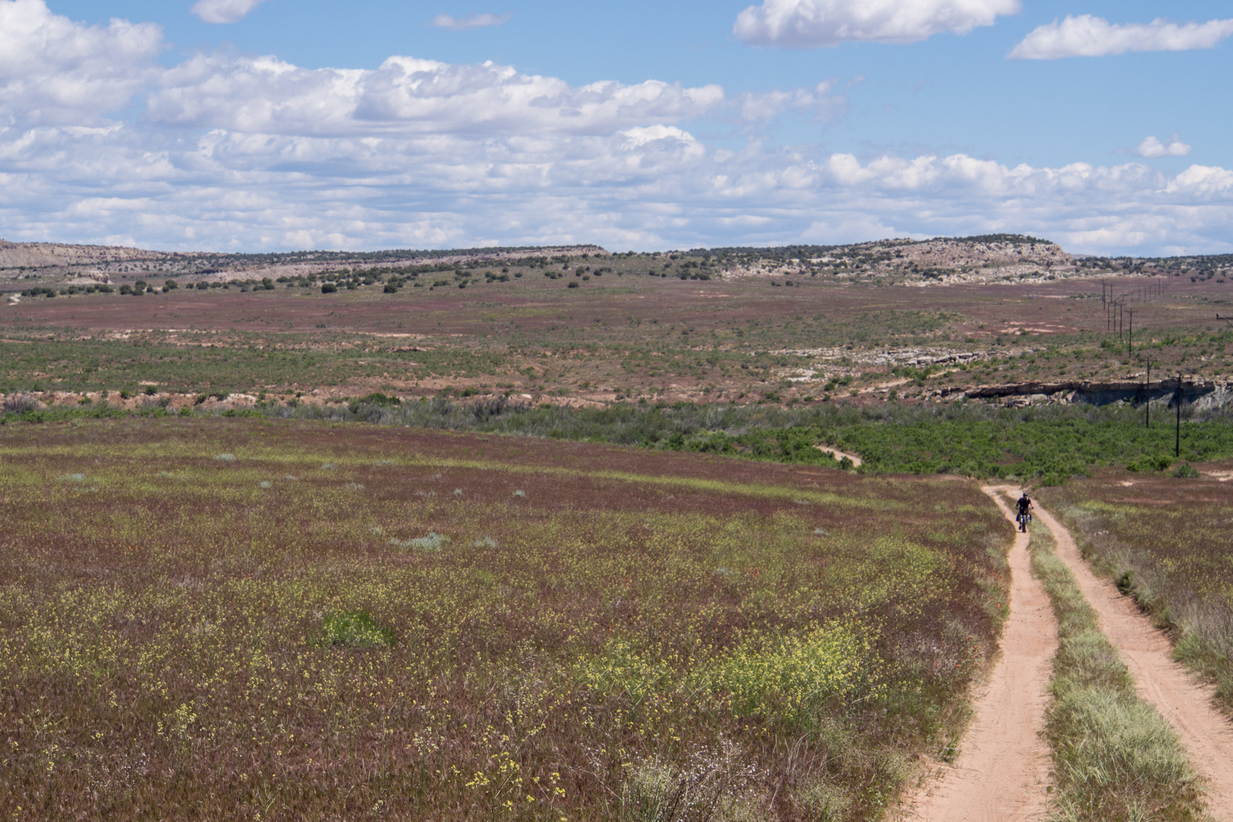
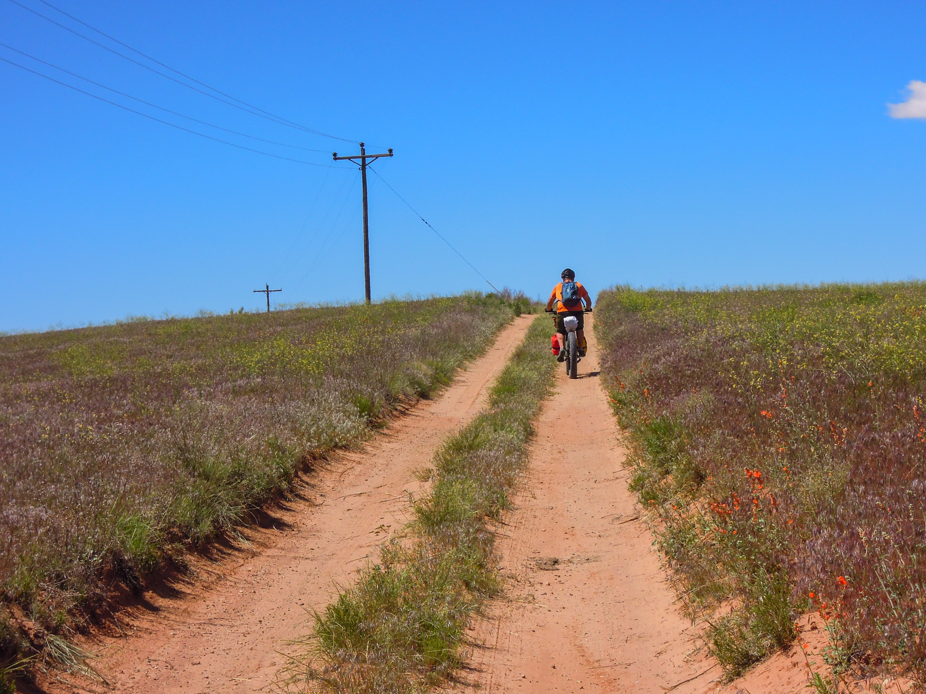
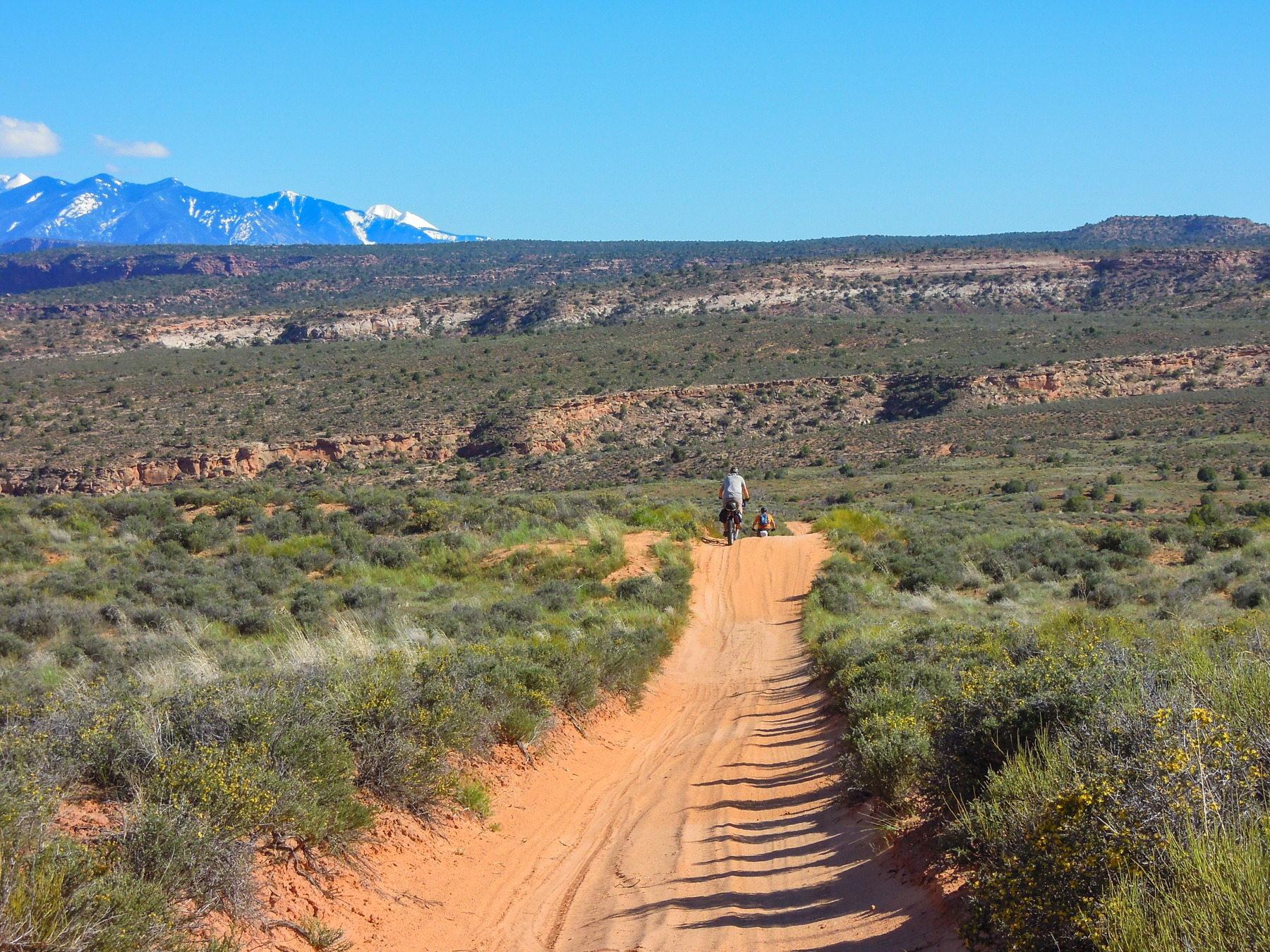
Rolling hills and a surprising amount of green
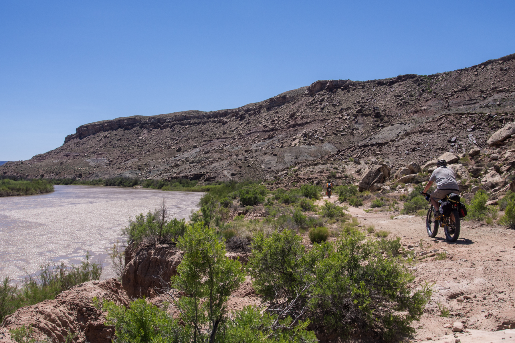
This next part of the trail was generally double track, rolling, with tall grass all around. It was pleasant riding as there were no steep climbs, just enjoyable rolling hills where we felt we could make up some time. After several miles of this, we made Cisco Landing and took a lunch break under a large pavilion. This is a popular put-in and take-out for river rafters on the Colorado River.

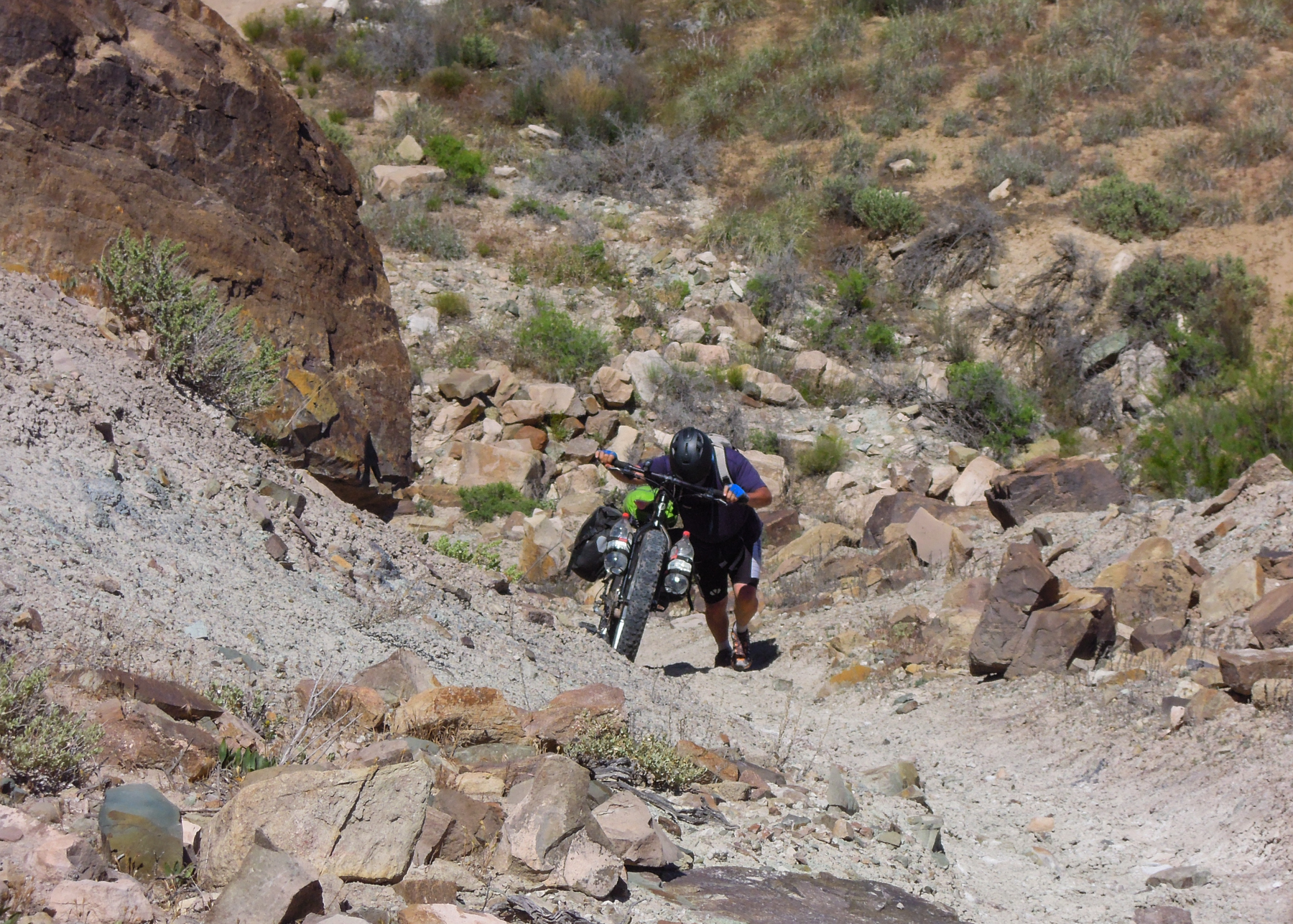
We then had a about 3.5 miles on the paved road toward Fish Ford. After turning off the road, we had some climbing then traversed around some cliffs before dropping down to the Colorado River. The singletrack along the river was overgrown with willows, but was a nice change from the dry rock and sand we had been riding through. We then has some steep climbing to get up above the river. This included some hike-a-bike sections.
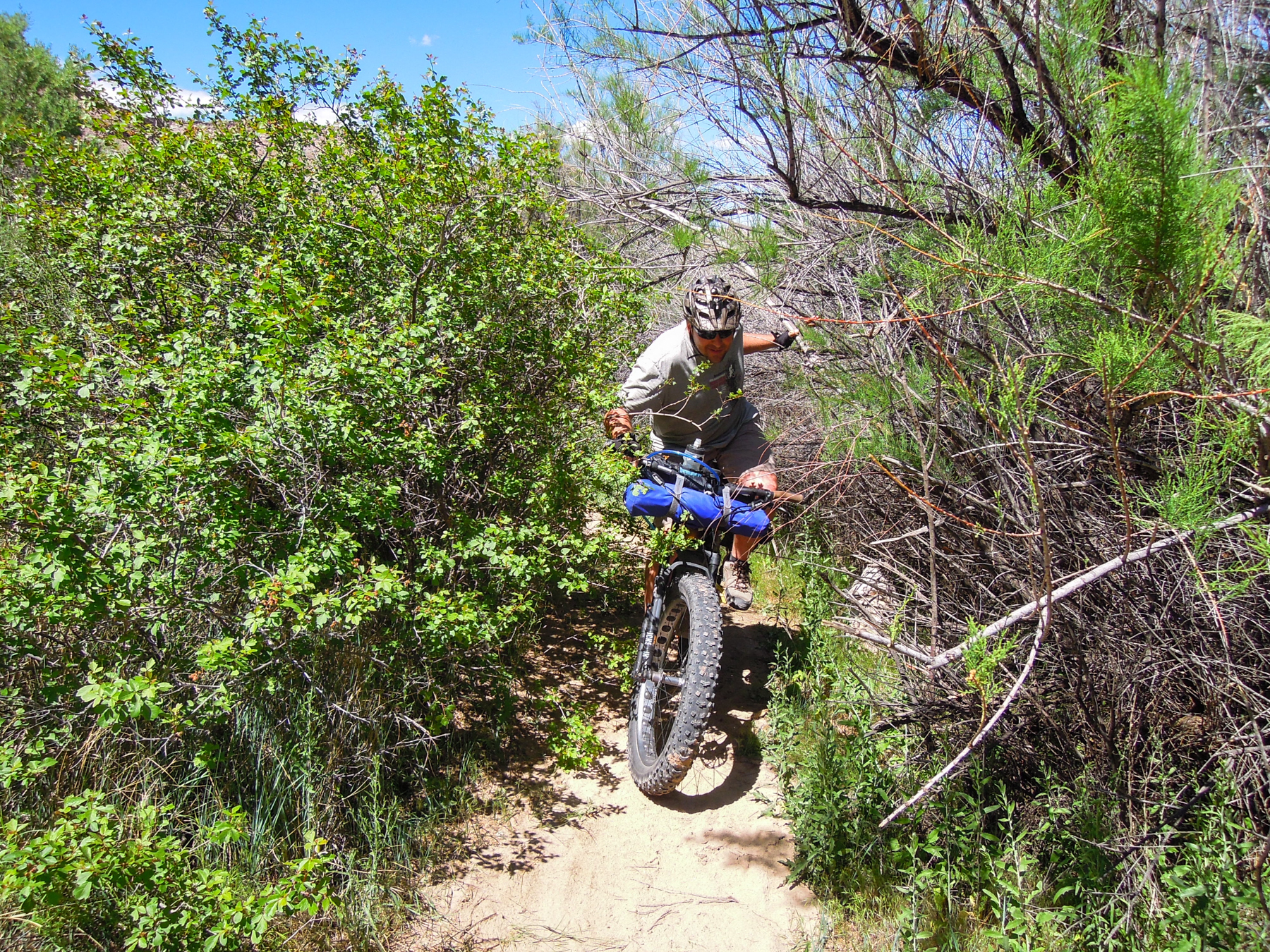
Narrow singletrack through willows along the river
Leaving the river to climb the bluffs ahead
Climbing out of the river canyon
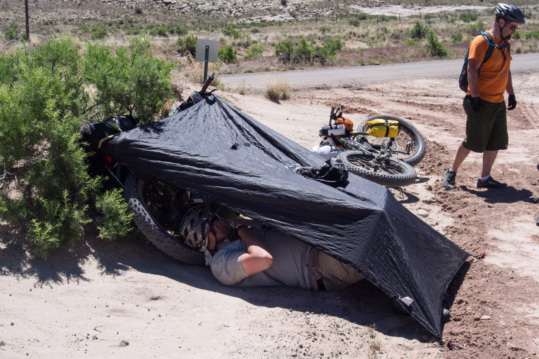
Jess making shade in open country
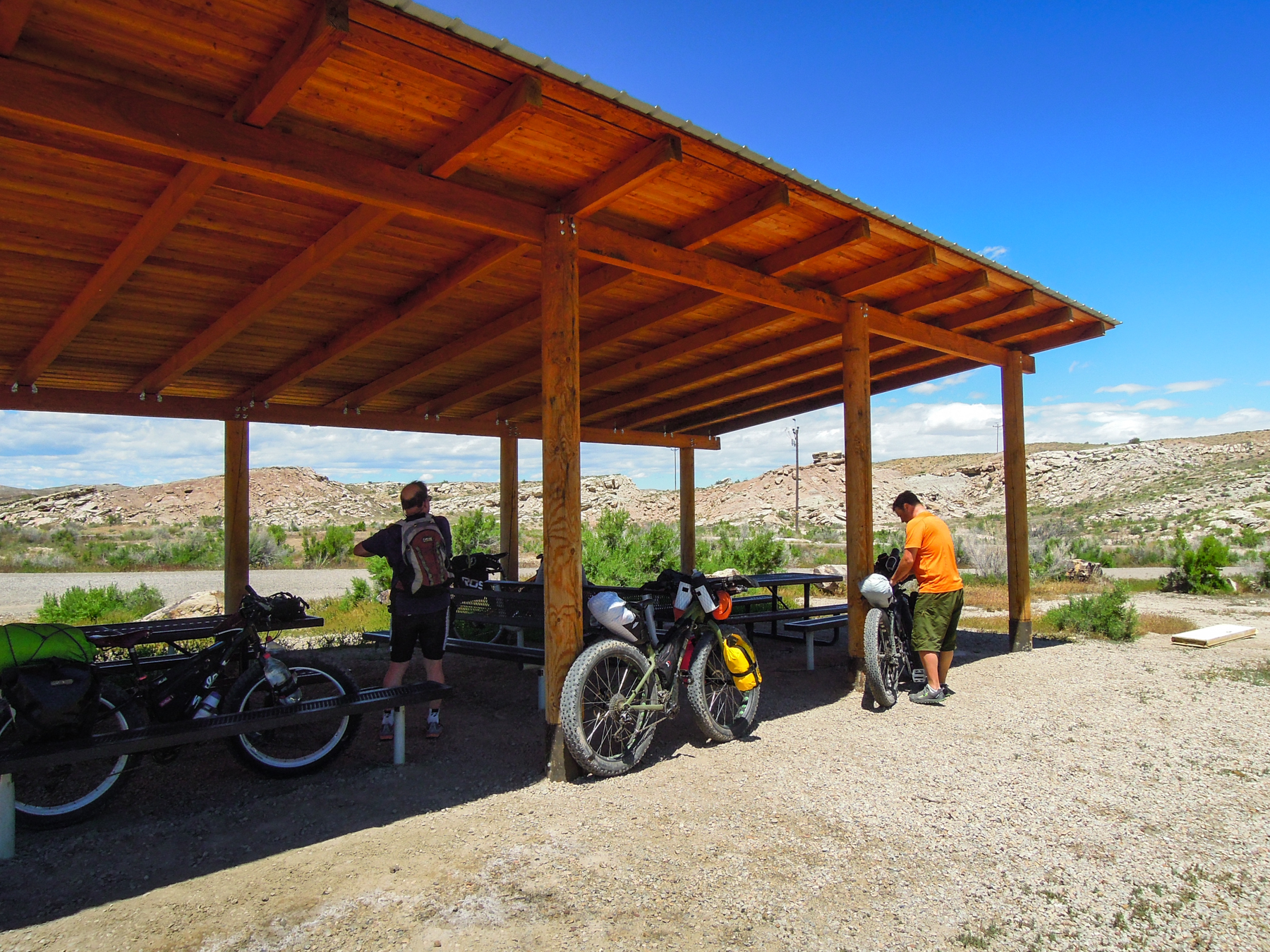
Lunch break at Cisco Landing
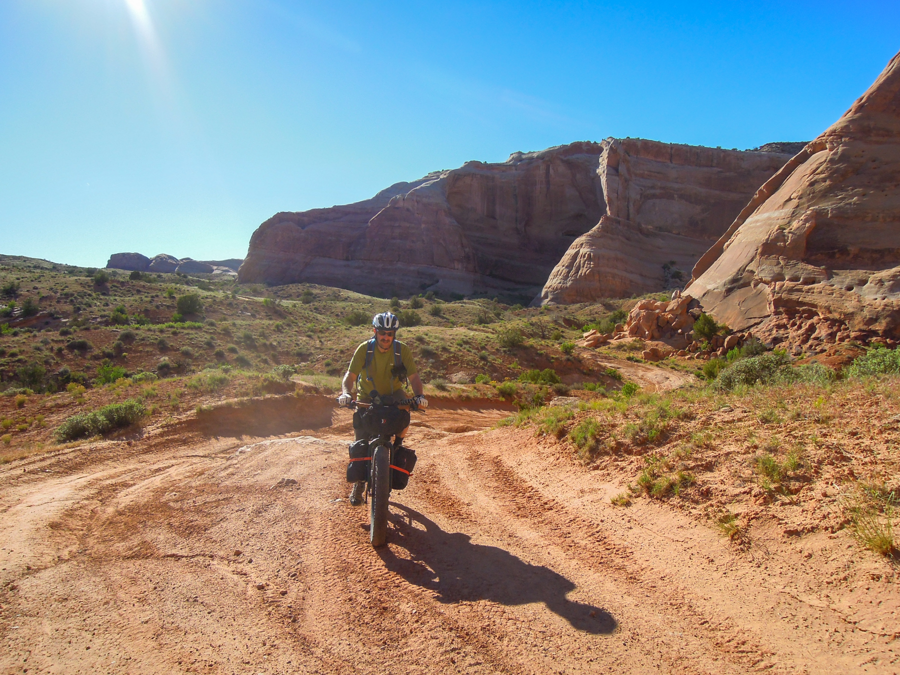
After topping out, we descended a steep slope down to flat farmland, then climbed up and around private property to the highway to Dewey Bridge. Boyd had cached water for us here, so we took a break and topped off our bottles.
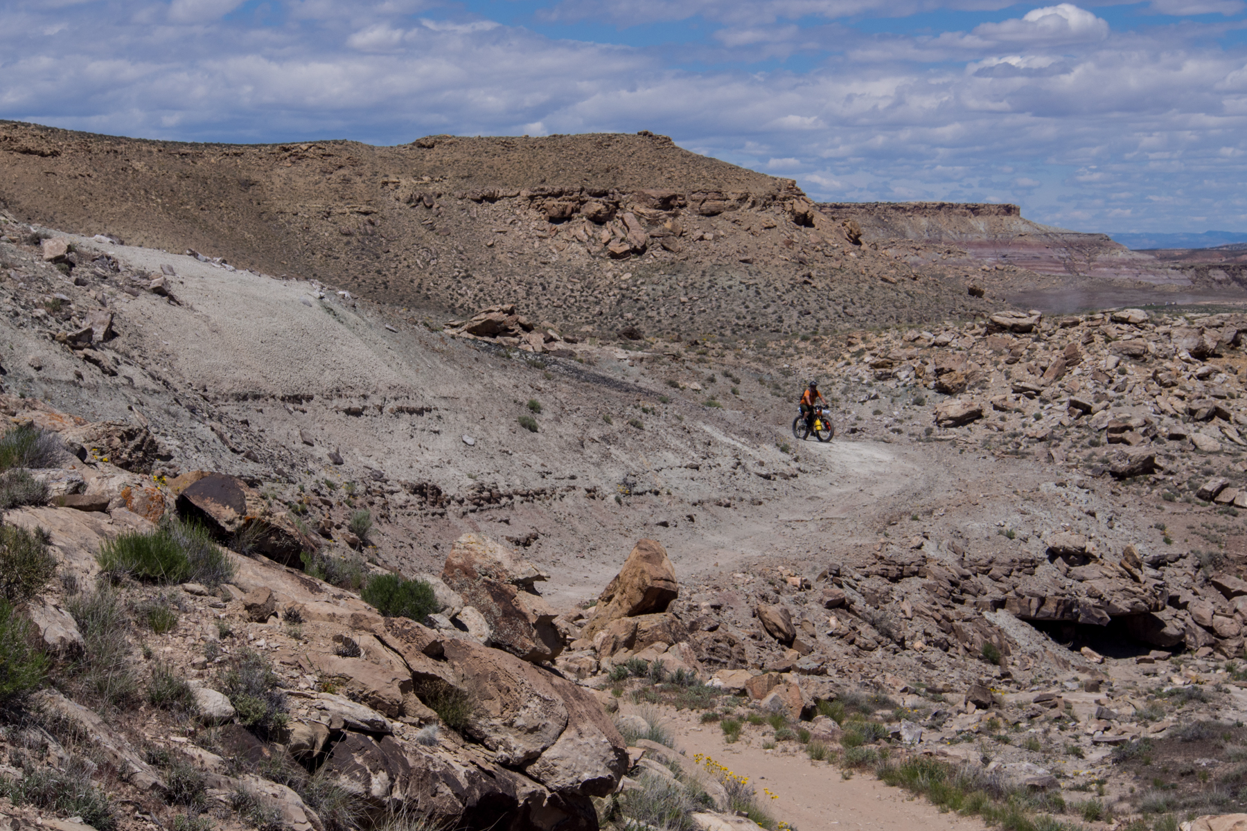
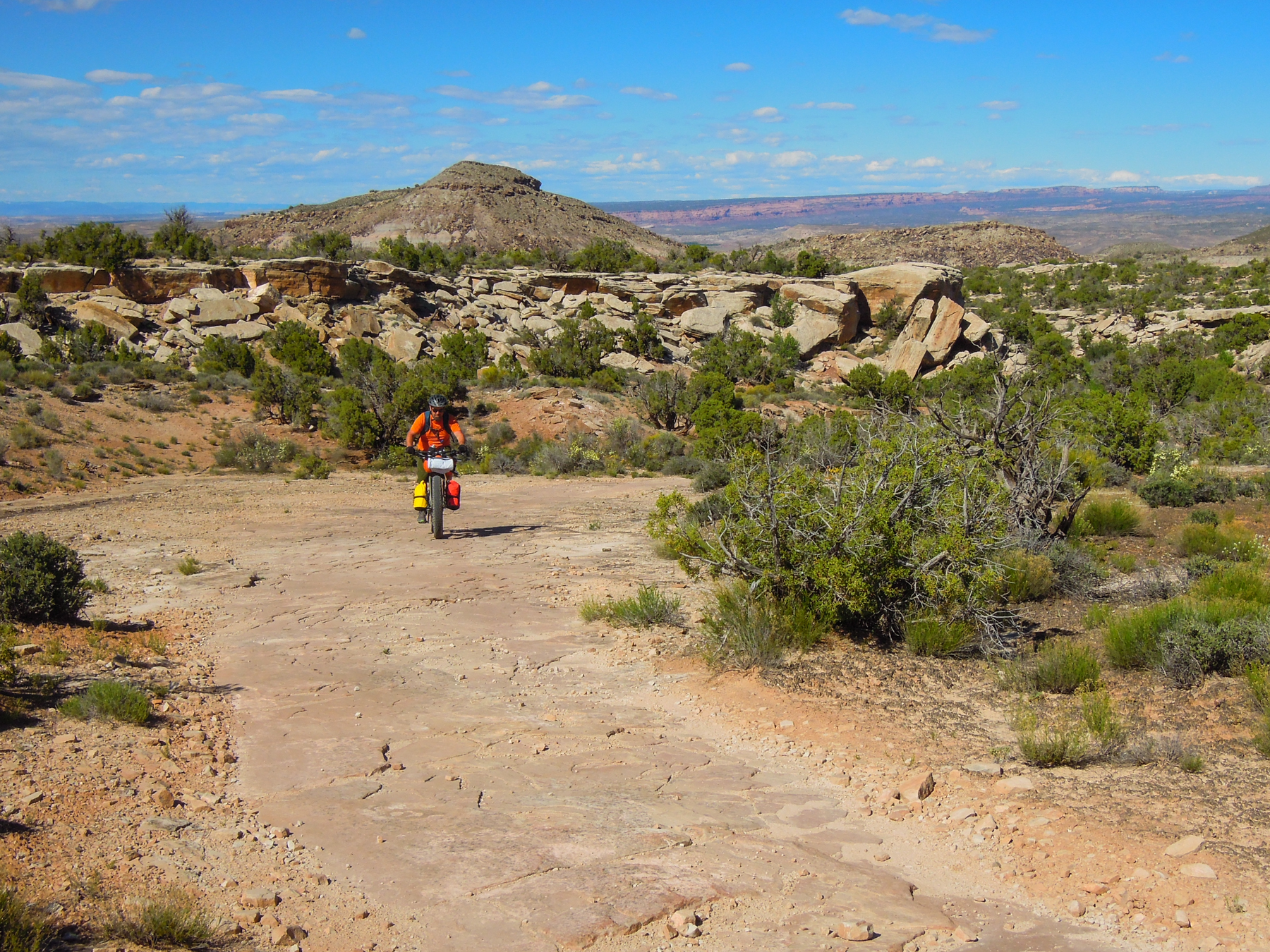
The next section of the trail climbs about 6 miles before descending down into Yellow Jacket Canyon. We had heard this was a beautiful section of the trail. The trail was rocky in places but nothing too extreme and were able to ride the whole way.

Beginning the climb up toward Yellow Jacket Canyon
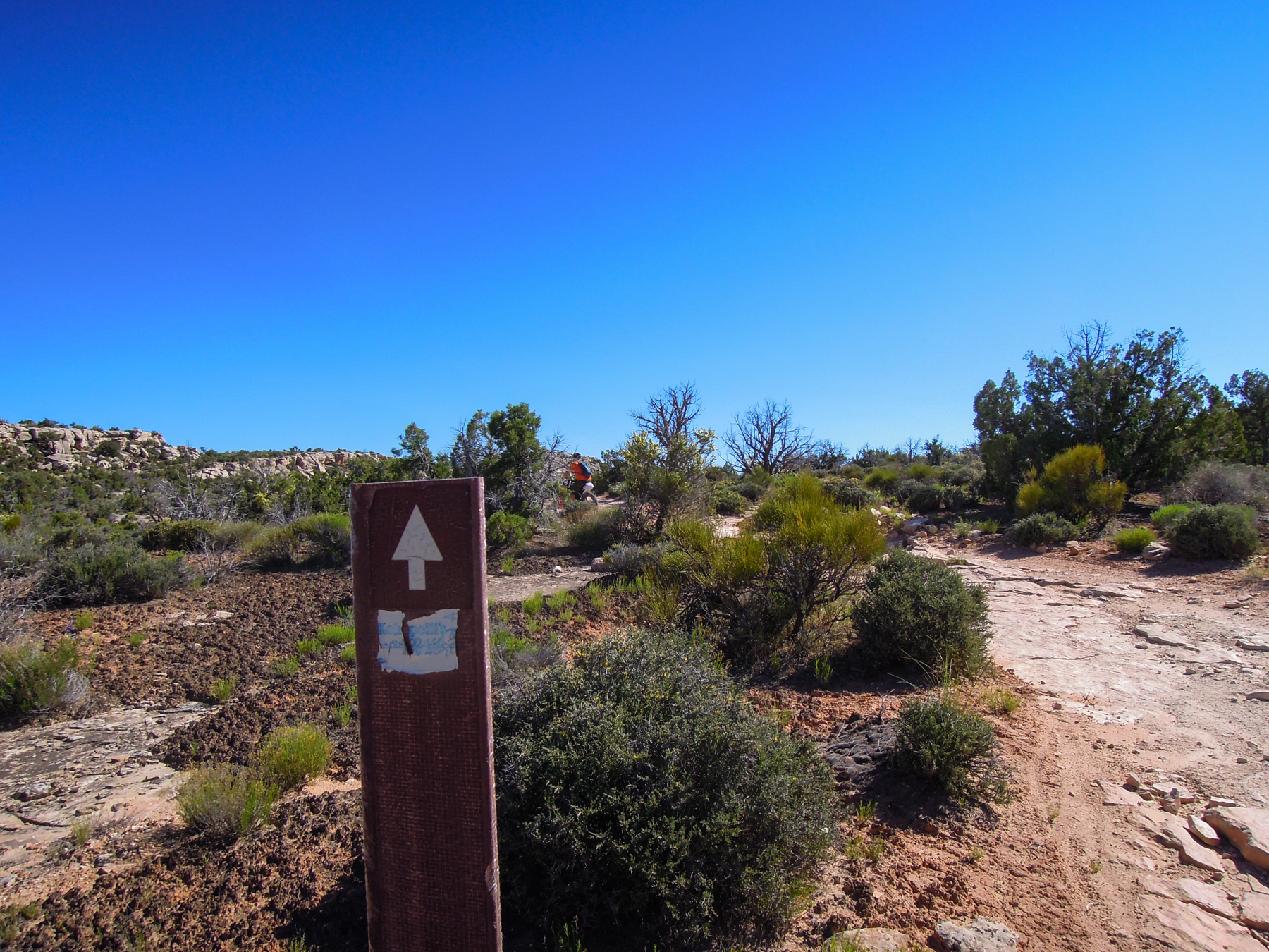
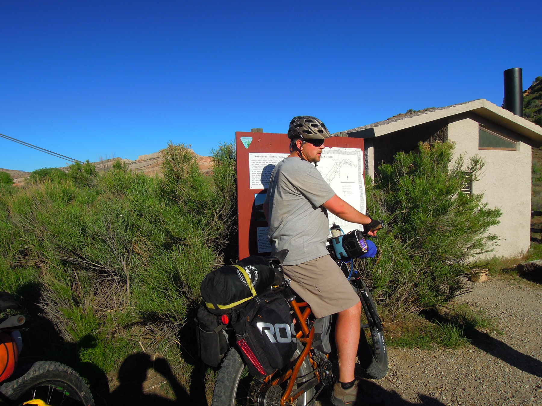
This is the Kokopelli Trail sign, sometimes they are pretty faded
We took a break a beautiful rocky saddle where we could see the deep canyons of the Colorado River across a valley, and we speculated where our trail would lead.
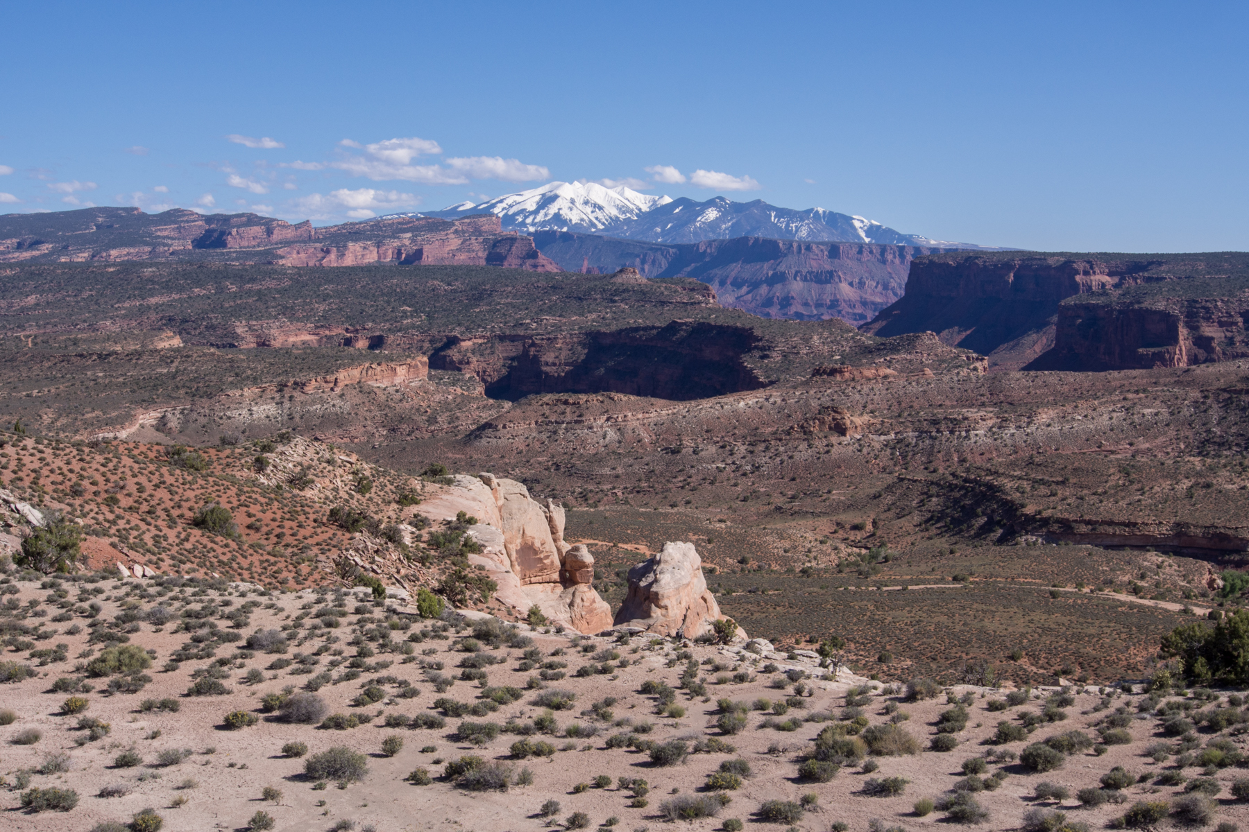
The view from the saddle before descending toward Yellow Jacket Canyon
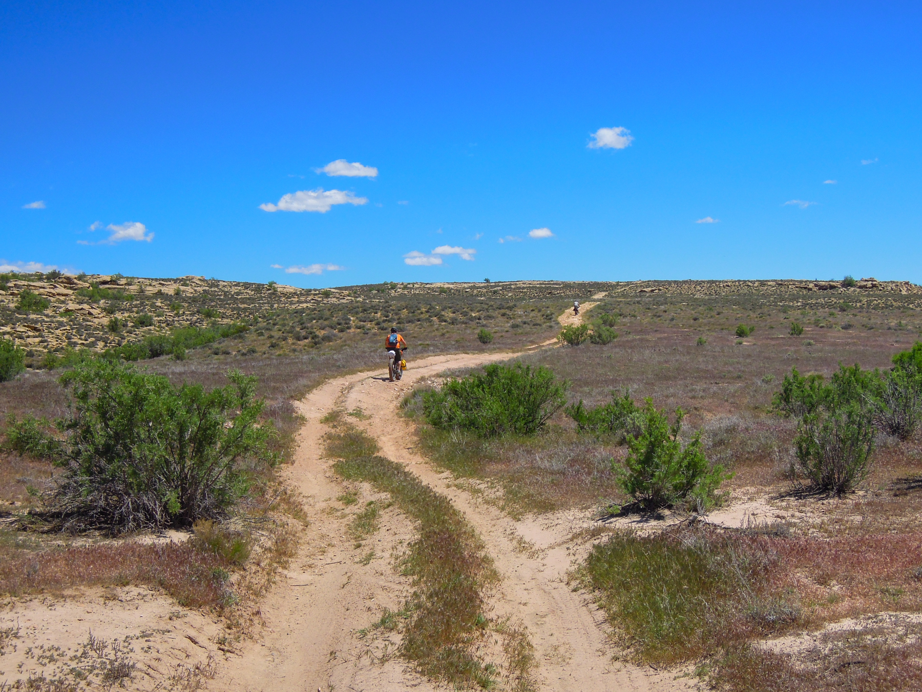
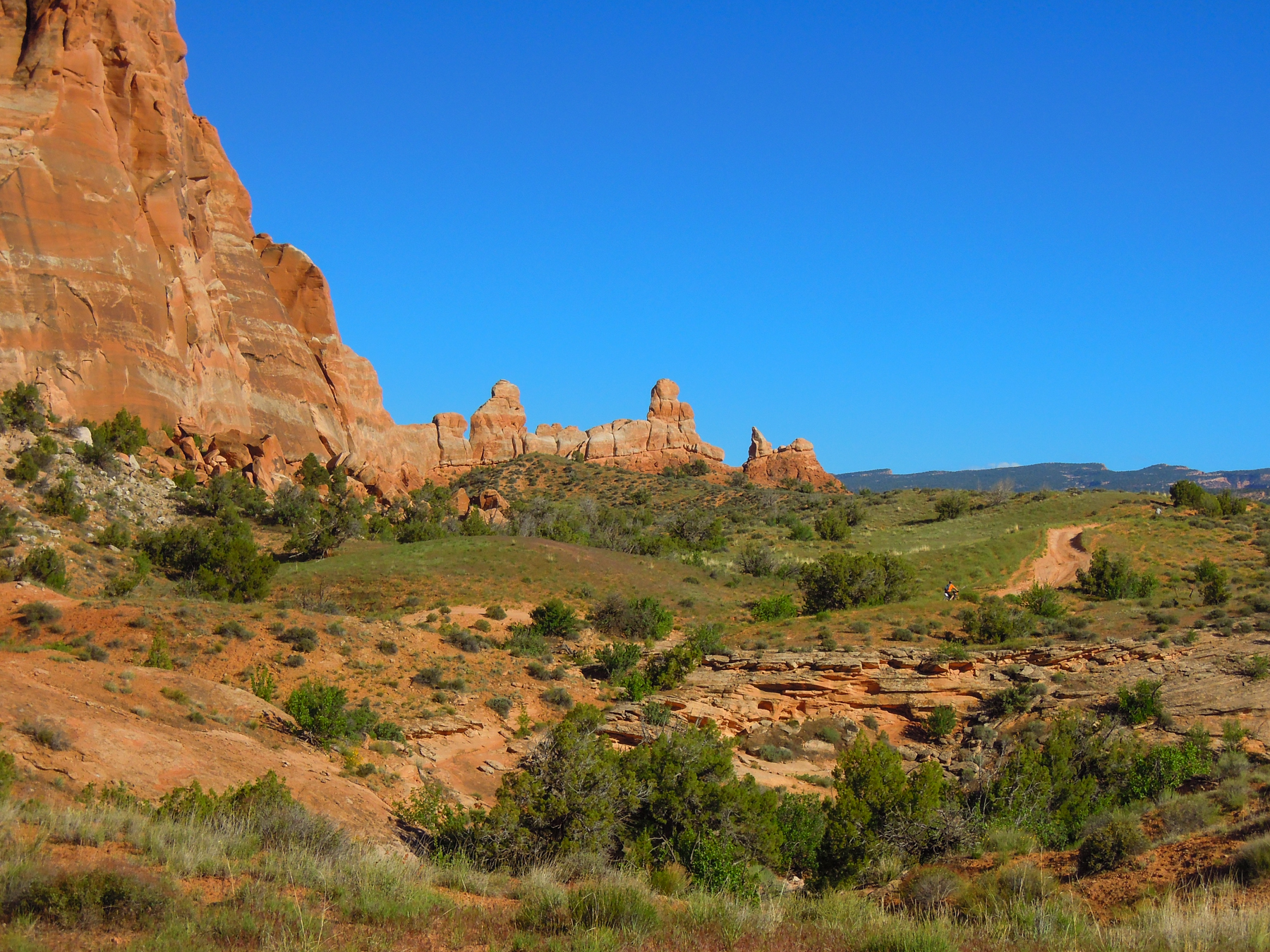
The trail skirted around a low peak before descending down into the valley. This part of the trail was very sandy and I would think that people on skinny-tired regular mountain bikes would not be having fun. But with fatbikes, we cruised right across with no issues. The trail rolled up and down for a couple miles before finally descending in to Yellow Jacket Canyon, which really only seemed like a canyon on one side, as the other side was wide open desert.
Rolling sandy hills above Yellow Jacket
Descending into Yellow Jacket Canyon
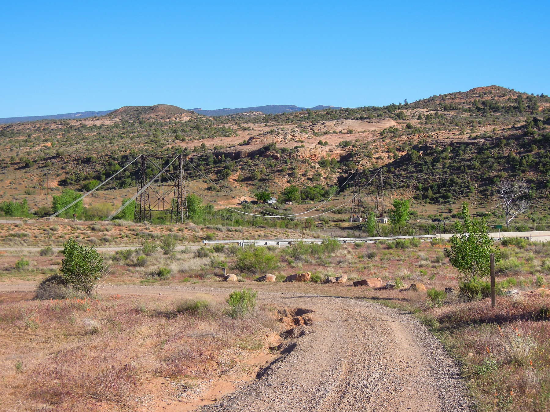
One final climb led up to a saddle, then a rough rocky descent down to the highway and Dewey Bridge. We stopped to take a few photos at the remains of the old bridge, then continued on the wide, graded dirt Entrada Bluff Road as it climbed up into classic Moab-like red rock country.
The trail down to Dewey Bridge
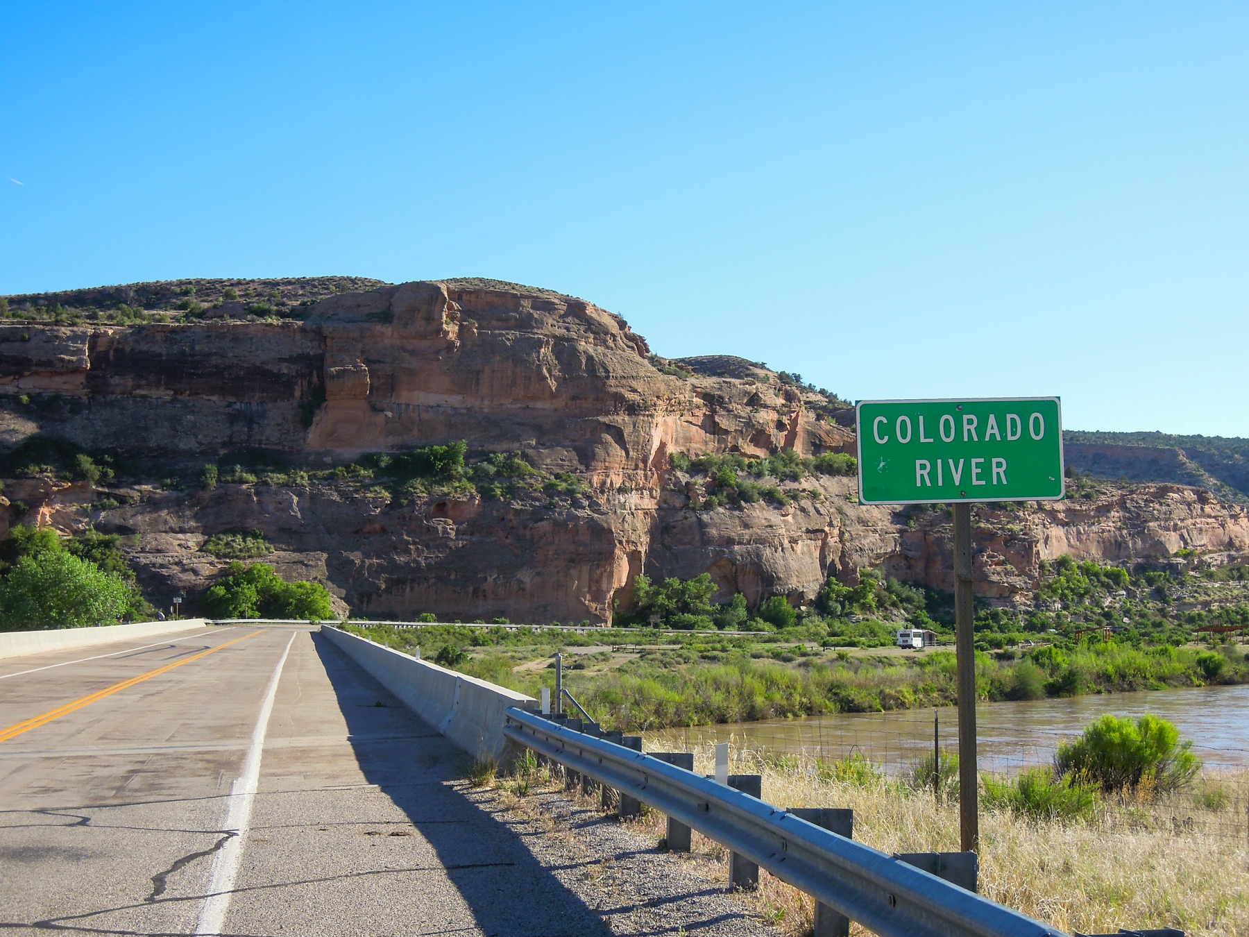
Crossing the Colorado at Dewey Bridge

The climbing was steady by all very rideable. Our original plan was to camp at Cowskin Campground, about 4-5 miles up the road, but since we were feeling pretty spent, we stopped for the night at a nice spot along the road and a small creek about a mile and a half up from Dewey Bridge. It was soft and sandy with a massive cottonwood tree on one side, and a towering red cliff on the other.
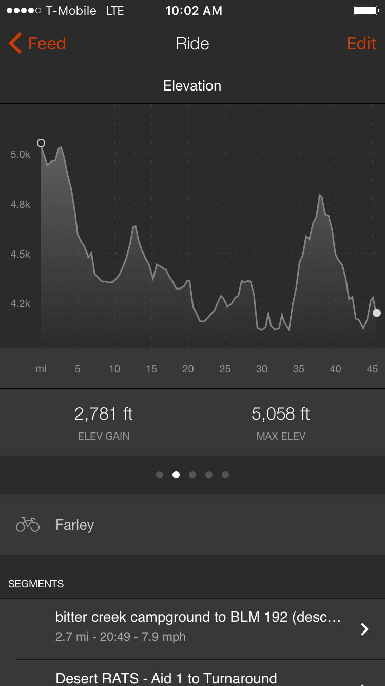
Here is the Strava shot of day 2. Our total mileage for the day was just over 45 miles. Though the terrain was much easier, technically, than day one, we still did a fair amount of climbing, and we were all feeling pretty tired.
Day 2
