Despite our lack of posting, we rode quite a bit this Winter and Spring, culminating in a nice four day loop through the southern part of the San Rafael Swell. The desert is one of those places that repels me—it’s hot, dry, sandy, and windy—and yet I can’t seem to get enough of it. This was our third annual bikepacking trip to the desert, and certainly won’t be the last, especially since we live so close to so much epic desert country.
Bullet, my 20 year old son Finn, and I rode a loop that we found on bikerpacker.com that looked about right for our interests and abilities. Thanks to Neil Beltchenko for mapping and describing the route. His trip report is here:
http://bikepacker.com/bikepacking-the-san-rafael-swell/
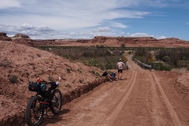
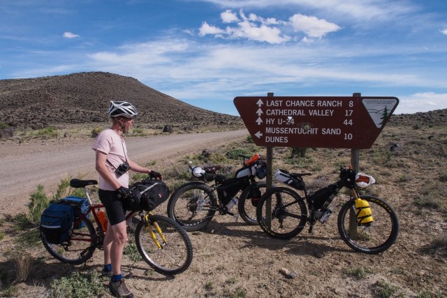
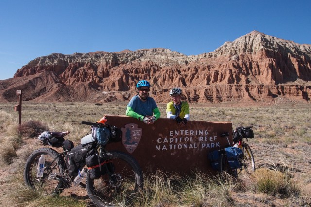
On Monday afternoon, May 1, we drove all the way down to the tiny hamlet of Caineville, just outside the tiny town of Hanksville, to drop water. We drove up Caineville Wash a couple miles and stashed 14 liters of water, mostly in Platypus bags, under an overhang of rock where it would stay mostly shaded. We then drove the 75 miles back to Green River where we had good Mexican food from the one and only food truck in town. Early Tuesday morning we drove the approximately 45 miles up I-70 to the Eagle Canyon Trailhead where we started the route. It was windy and cool, with lots of cloud cover. We each carried about 5.5 liters of water. This would have to last us the first 75 miles.

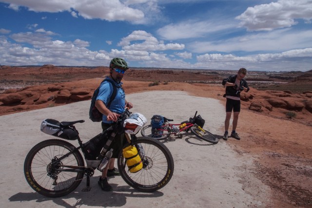
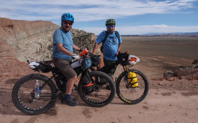
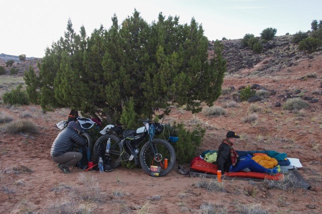
Gearing up
Day One:
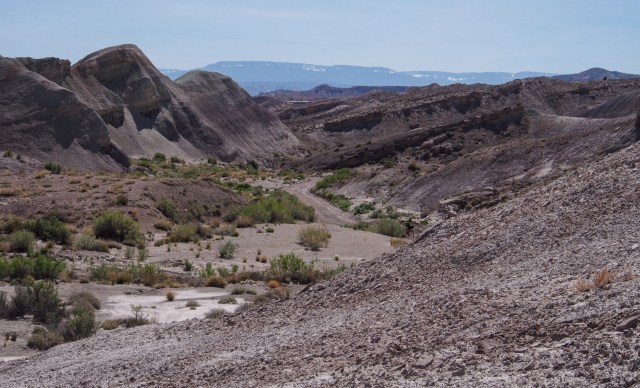
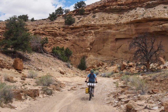
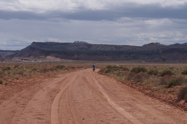
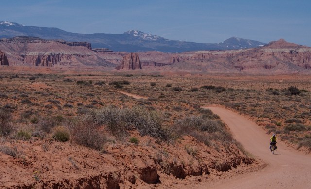
Within a few miles we were descending into Devils Canyon (and the Devils Canyon Wilderness Study Area). We were quickly met with deep sand in a wash. Finn was riding his old 90’s Bianchi steel frame mountain bike (that he paid $60 for), with skinny 2″ tires, and Bullet was riding his newly built up Salsa Timberjack with 27.5″+ tires. They were both walking through the sand, while I was able to ride most of it on my Puglsey with 4″ tires. Fat bikes are just about ideal in the desert, especially when you hit sand.
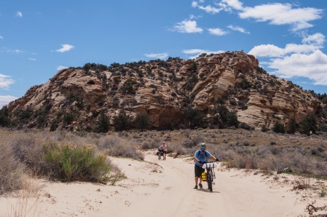 We probably had about 3-4 miles of sandy washes that morning alone, but soon enough we were out of the sand and back on firm ground. I was using the Ride with GPS App on my phone for the first time, and we were glad to have it as there are countless dirt roads and tracks out in the desert. We did take a wrong turn and climbed to an incredible viewpoint, but it was worth the short detour.
A short time later we began seeing what looked like unshod horse tracks in the road, including a set of very small tracks. After descending to a somewhat grassy plain we spotted wild horses in the distance, six in total, including a colt. When they caught sight of us, they galloped off.
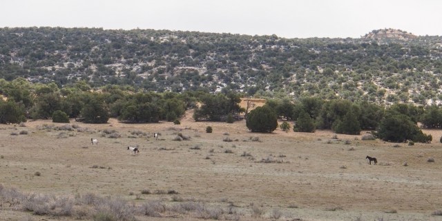
Wild horses
At about mile 24 we crossed Muddy River (surprised to find a bridge). We didn’t stop to filter as it is pretty silty.
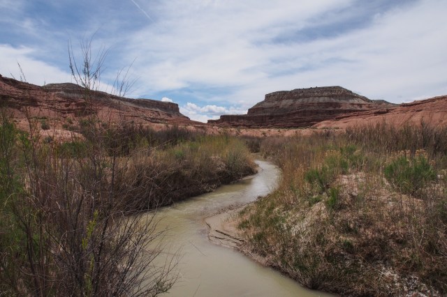
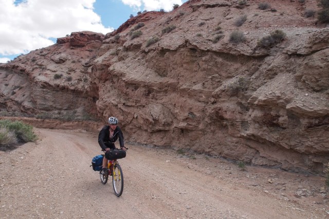
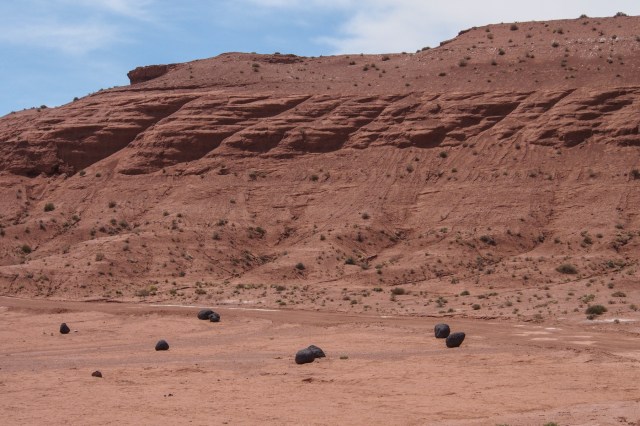
Just past the Lone Tree Crossing of Muddy River we encountered an interesting section of the road. From a distance it looked like a paved road, but when we got to it we found nearly white slickrock, quite smooth. After rounding a corner we were surprised to see an open field with large black volcanic rocks scattered about on the red ground. They looked like giant briquets. I suppose they were spewed out of a volcano sometime in the past.

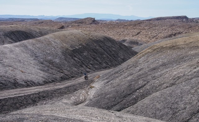
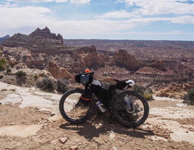
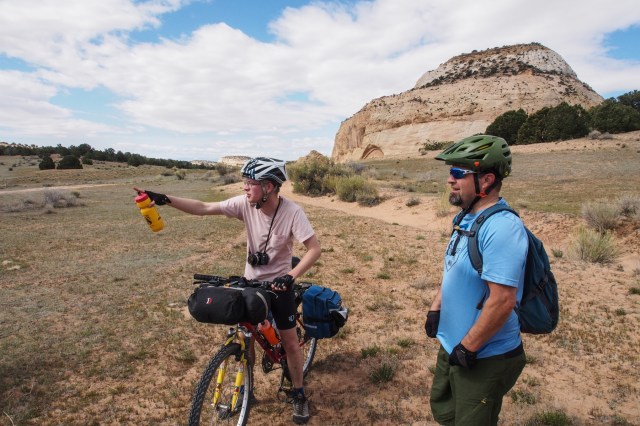
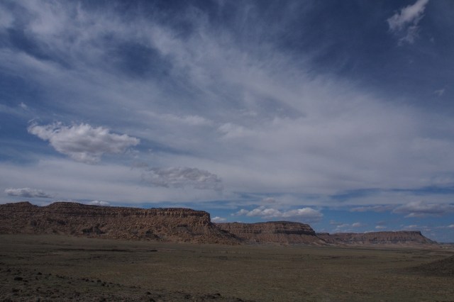
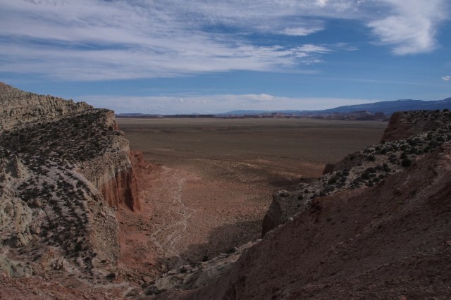
We finally climbed up onto a plateau that was really windy and rode for miles. Several fairly stiff climbs brought us to the top of a butte with an impressive view to the south. The wide open skies and long views are always so impressive in the desert.
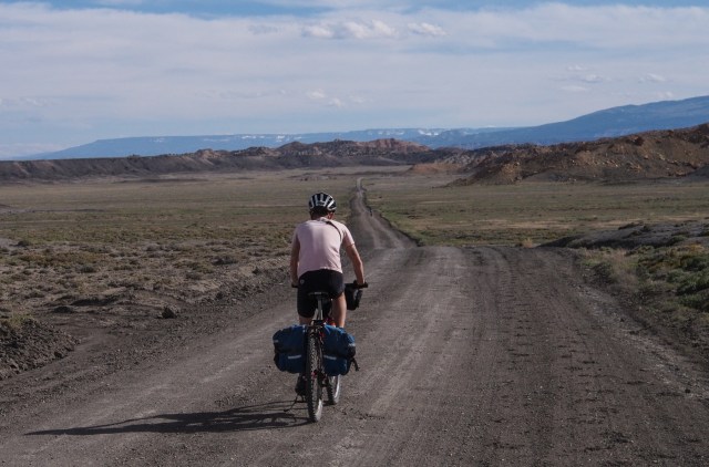
After a quick, steep descent we headed down a very straight road across another plateau. We could see trees at the other side of and since it was getting late, we decided to start looking for a campsite. The trees turned out to be low junipers on a sloping hill, so we descending the other side and found a nice large-ish juniper on the other side sheltered from the wind. We were tired and ready to stop for the night. We had ridden 42.6 miles and climbed 2657′, much of it with headwinds. We felt good about our progress.

Looking back at the bluffs we just descended.
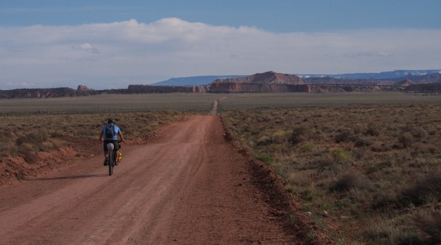
Heading for those trees in the distance.
This was Finn’s first bikepacking trip. He has been on several road tours, and is a strong rider, but his reaction to bikepacking was “knarly.”
Day Two
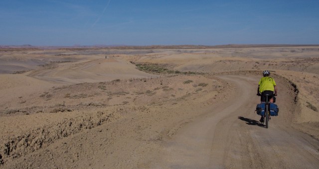
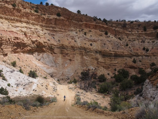
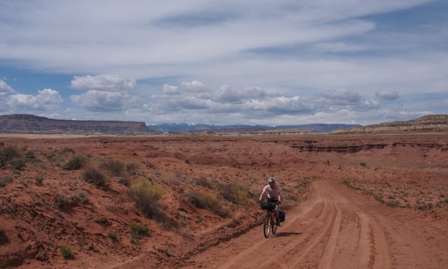
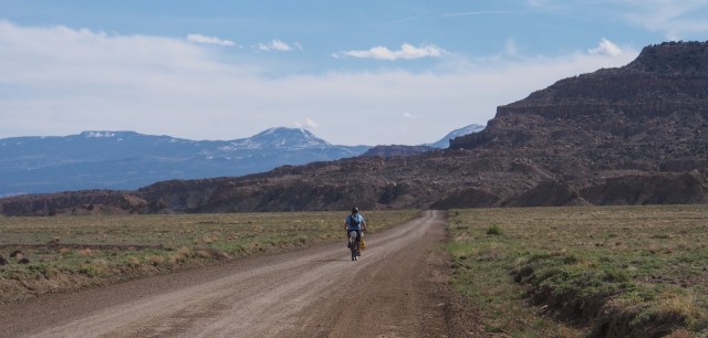
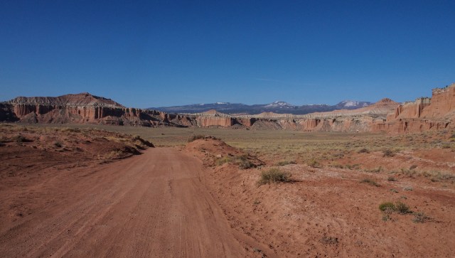
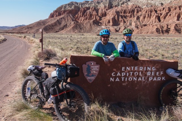
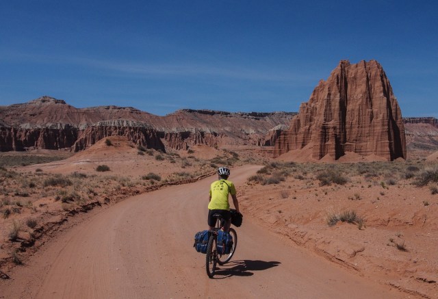
It was chilly the next morning, though not a cloud in the sky, so we all donned arm warmers (though they didn’t stay on for too long). We slept pretty well and it felt good to be riding again. We had about 30 miles to ride to our water drop and we hoped to make good time. The route had a general downhill trend to our water drop. We had camped a few miles outside the Cathedral Valley area of Capitol Reef National Park. The road we were on actually skirted the edge of the park, occasionally dipping in. The riding was wide open and beautiful. Towering red rock cliffs seemed to be around every corner.

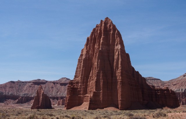
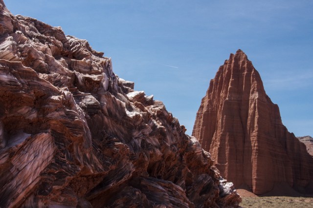
About 23 miles into our day we hit the turn off for the Temple of the Sun and Temple of the Moon. We detoured about a mile to check them out. We also rode out to Glass Mountain, which was a very impressive hill of gypsum, which looks just like glass.
More long straight roads led to broken country where we descended down into canyons then climbed back out, then down and up again. This went on for quite awhile until we finally descended into the Caineville Wash drainage and to our water drop. We actually did not drop our water where we intended, at the junction of the Cathedral Valley Road and Caineville Wash, and ended up riding 2.5 miles back down the road to our water. We weren’t too happy about that. It was a relief to get to our water as all three of us were completely out, and Finn had been bumming water off us for the past couple hours. It was becoming a hot day. We drank more than we should have when we got there and took a nice break in the shade.
Riding out of Cathedral Valley
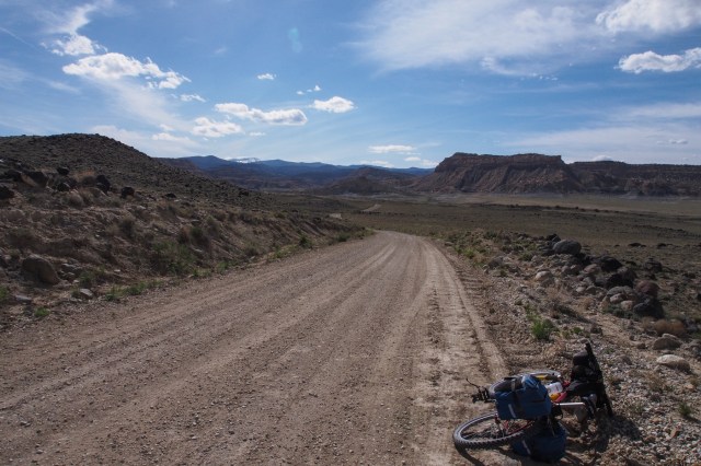
At the water drop in Caineville Wash
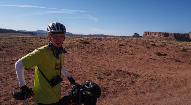
Feeling the heat.
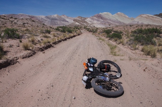
Back on the Caineville Wash Road heading into the Factory Butte area I flagged down an SUV and asked if they could spare any water. It was a group of National Park Service Employees on a training trip. They topped off all our bottles and then some. We had about 38 miles to go before Goblin Valley and more water.
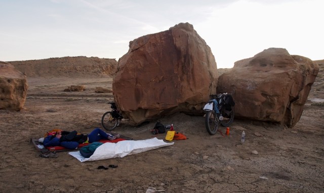
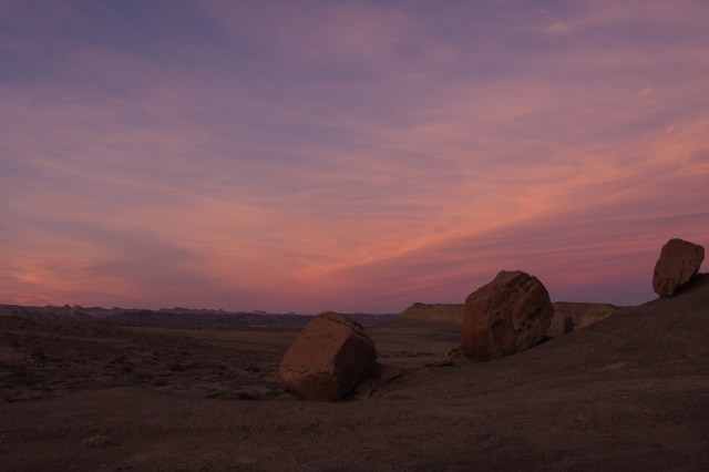
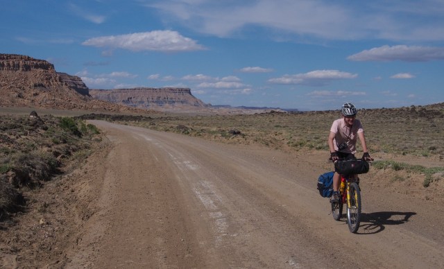
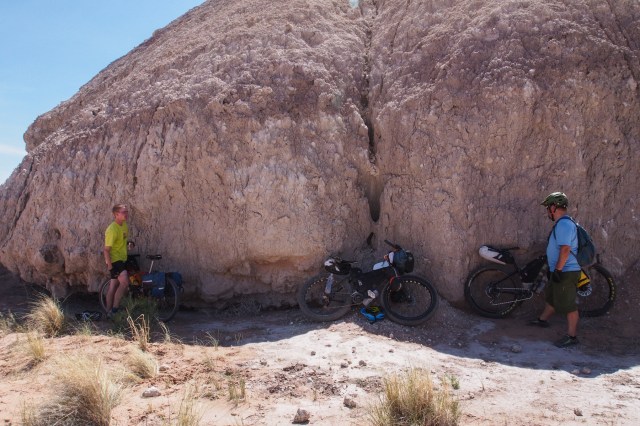
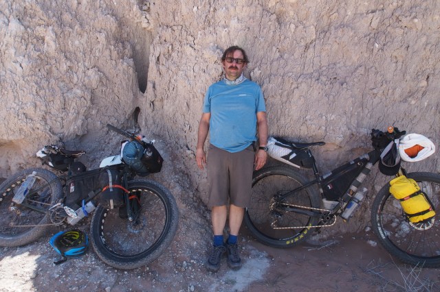
The Factory Butte area was desolate, stark, and beautiful. We encountered more deep sand, which required some walking. When we finally left the wash, but after quite a few miles, we were not too happy to have deep, loose dirt, every bit as challenging as riding in sand. After a steep climb out of the wash, we had several miles of this soft dirt, then another wash, then firm dirt road until we called it a day next to some nice big boulders that shaded us from the waning sun. We made 57 miles on Day two with 1721′ of climbing. Another good day. We were hot, tired, and sticky.
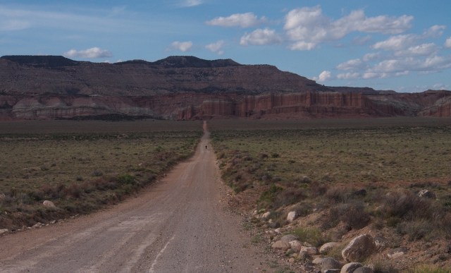
Heading into the Factory Butte area.