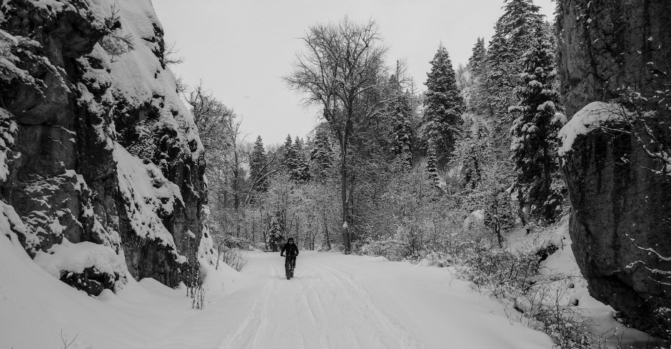

In the past couple weeks I have made three trips out to Cedar Valley and the Tintic mountains. I was looking for new places to ride that were off the beaten track. I wanted solitude. I spent some time with my Utah Atlas and Gazetteer looking for lonely dirt roads not too far from home. The Tintic Mountains, a former mining area looked promising. With more research on Google Earth and some GPS software I planned an exploratory trip.
The first trip out I took my fatbike and drove to an area called Broad Canyon. It’s out past Chimney Rock Pass Road, Allen’s Ranch Road, and off Twelve Mile Pass Road. I had no idea what the roads would be like out there. Turns out they are nicely graded and smooth. I drove up Broad Canyon and until the road got too narrow and rough for my car.


Broad Canyon, which is really more of a broad valley.
I parked, and headed up the double track.

On these kinds of rides, I don’t have too many expectations, except to get out and do some exploring. On my drive in, there were tons of campers and four wheelers. It was the Saturday at the end of Spring Break. This is sage brush and juniper country, at least in the valleys. As I climbed higher up into Broad Canyon, the pines began to appear. It got steeper as I climbed until I finally topped out at saddle with views into the next valley. A rough track led off to the left up the ridge line, so I took that for a mile or so before I was convinced it just kept going, getting rougher and rockier all the way to the top of another ridge in the distance. On the map it was called County Line Ridge. The views were grand, the day was cool, and I was completely alone up there.

On the way down I took a branch trail up another small canyon. This was a narrower double track through a shady pine forest. It also got very steep, so I stashed the bike and hiked up to the top of that ridge. Again, nice views down the other side. There were patches of snow and slick mud in the shady areas, which made for some sketchy high speed maneuvering on the way down.

 Lower down I passed a large group of people on four wheelers. At a prominent junction I took a right, away from the direction of my car, hoping to get a nice loop in. It was a nice fast descent on a pretty good dirt road, bumpy in a few sections, and some ruts, but not bad. This spit me out onto the main road into the canyon about a mile or so down from where I parked. I completed the loop and knew immediately that I would be back.

Broad, smooth, access roads.
The second trip I decided to take my road bike. The dirt roads were well graded, the scenery was majestic, and there weren’t many people around. I parked across the street from the Post Office in Elberta at the junction of Highway 6 and Highway 68.

Elberta Post Office.
The first 7 miles head north on Highway 68. Then I turned left onto Chimney Rock Pass Rd., which is graded dirt. The riding was pleasant. It was a little chilly so I was wearing my wool arm warmers.

Heading up Chimney Rock Pass Road.
After about 5 miles I passed the rather unimpressive Chimney Rock, which doesn’t really look like a chimney.

The unimpressive Chimney Rock in the distance.
It is only about a 600 foot climb to the pass, which didn’t really feel much like a pass either, just a low shoulder before descending down into Cedar Valley.

Heading into Cedar Valley.

Cedar Valley with Twelve Mile Pass Road in the distance.

Holmansville Pass Road, cutting off to the left.

At mile 13.5 is the turnoff to Holmansville Pass Rd. From here the road ascends gradually to the top of the pass at around mile 18.5. The total climb from the car was just under 2000 feet with 10% grades in the steepest parts. There were some rough, rocky sections of the road, but for the most part it was nice and smooth. The riding was very pleasant in this seldom visited area. I didn’t see anyone during this ride on the dirt roads.


Near the top of the pass.

Looking back toward Cedar Valley.

View from Holmansville Pass looking down the other side, Highway 6 below.
The descent down the other side of the pass is short, steep, and fast. In short time I was at the highway, turned left and coasted through the canyon and back to Elberta. Where Holmansville Pass Road drops down to Highway 6, it is only a couple miles to Eureka in the other direction. It was about 10 miles on the highway, all downhill. It was a really nice ride.

Highway 6 down to Elberta.
My third ride was again on my road bike. My road bike is actually a steel framed cyclocross bike, a Bianchi Volpe, with 35mm wide tires on it, so it handles dirt roads well.

At the top of the pass.
On my previous ride I had noticed another dirt road heading back down to Elberta on dirt. After checking it out on maps, I decided to give it a go. Again, I started at the Post Office in Elberta, rode the 7 miles to Chimney Rock, and back up to the top of Holsmanville Pass. Down the other side, then just before the road hit the highway, there is a turn off on a double track. This track is on the opposite side of the canyon from the highway.

The double track, with the highway to the right.
It was a bit rough in places with rocks that had slide down the mountainside, but was very fun riding.

 After maybe two miles of this double track, Pinyon Canyon opened up and I could see Elberta Slant Road down below.

Looking down into Pinyon Canyon, with Elberta Slant Road on the right.

Elberta Slant Road heading back toward Elberta.
After a steep descent down what looked like a newish dirt road I joined the wide, smooth, nicely graded Elberta Slant Road. I had a few miles winding through this nice canyon, then out into the broad valley and a straight shot (literally) of about five miles back to Highway 68, only one mile from my car.

Long, straight road.

 In all it was a 29.5 mile ride with only 8 of those on pavement, and 2200 ft of climbing. I only saw one guy in a truck the whole time out. It was a really fun ride and I have discovered what all the fuss about riding gravel is about. I’ll definitely be heading back out there to explore more of the dirt roads and trails in that area.
