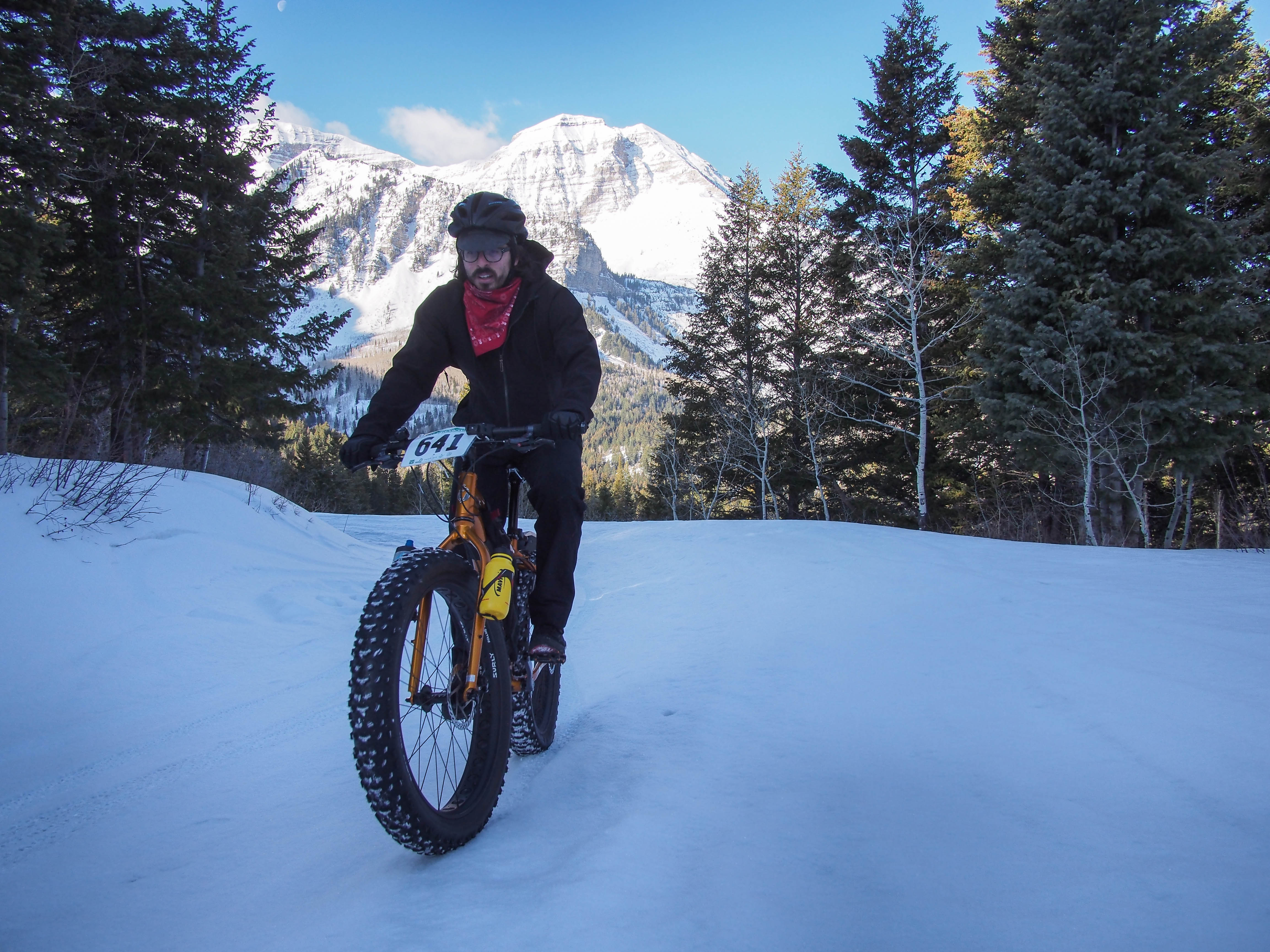
North summit of Mt. Timpanogos in the background
Todays ride had a little bit of everything—snow, mud, dirt, asphalt, gravel, grass, rocks, fisherman’s trail, and a railroad, 3,300 feet 0f climbing, 5,000 of descending and section of 17% grade climbing. It was a reminder that Winter is fading and Spring is here.
I wanted to get one last long snow ride in before it was gone. But with the temps so warm, I knew that by about 10 or 11 am the snow would be soft and mushy. So we altered our plans so we would be off most of the snow by late morning. My wife dropped off Kent and myself at Pine Hollow on the Alpine Loop, up American Fork Canyon at about 8:00 am this morning. I was surprised that there was no snow on the road for the first 3/4 mile or so. There were lots of rocks on the road, fallen from the freeze-melt cycles going on.

Just past the Pine Hollow trailhead on the Alpine Loop.
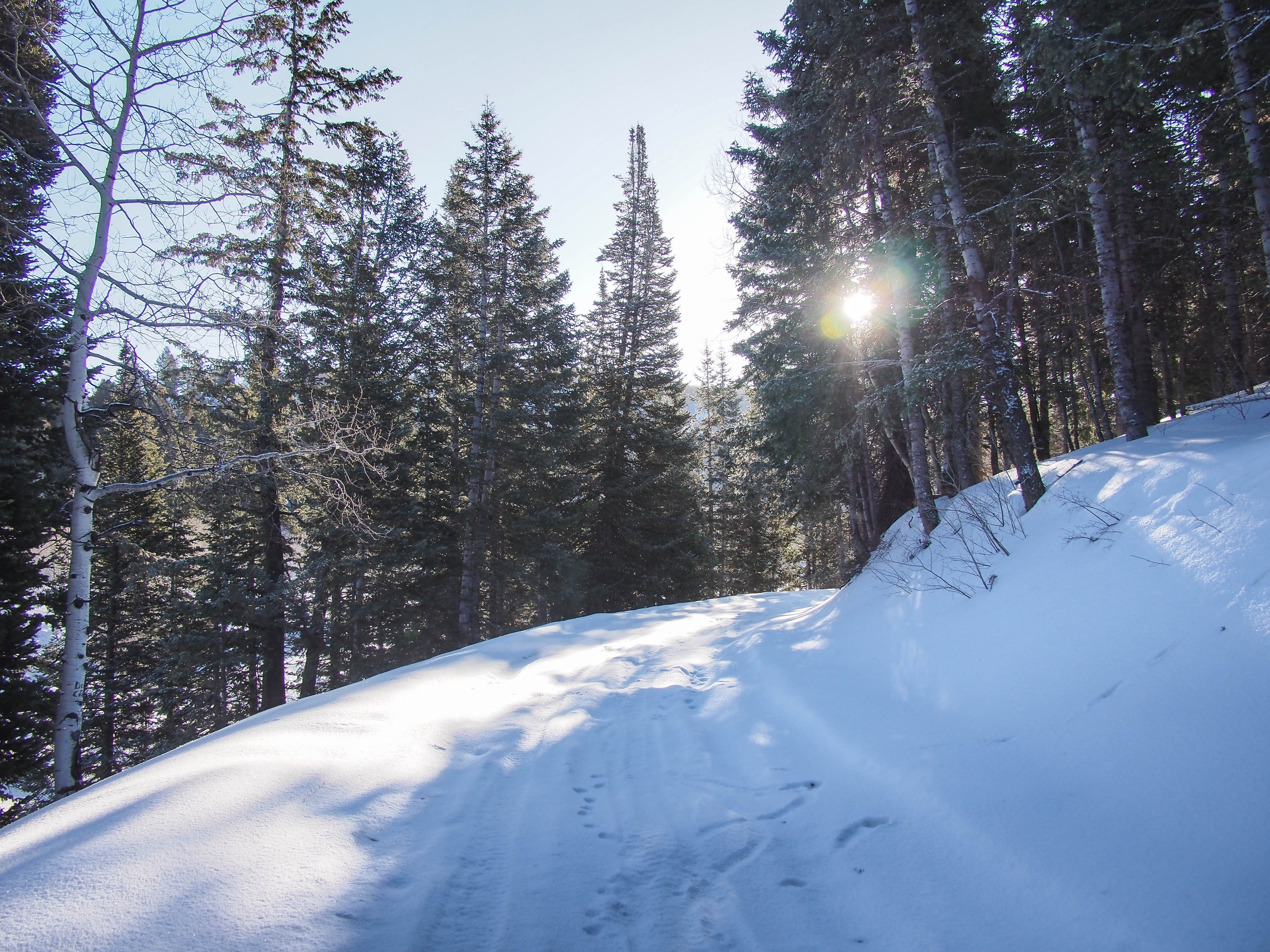
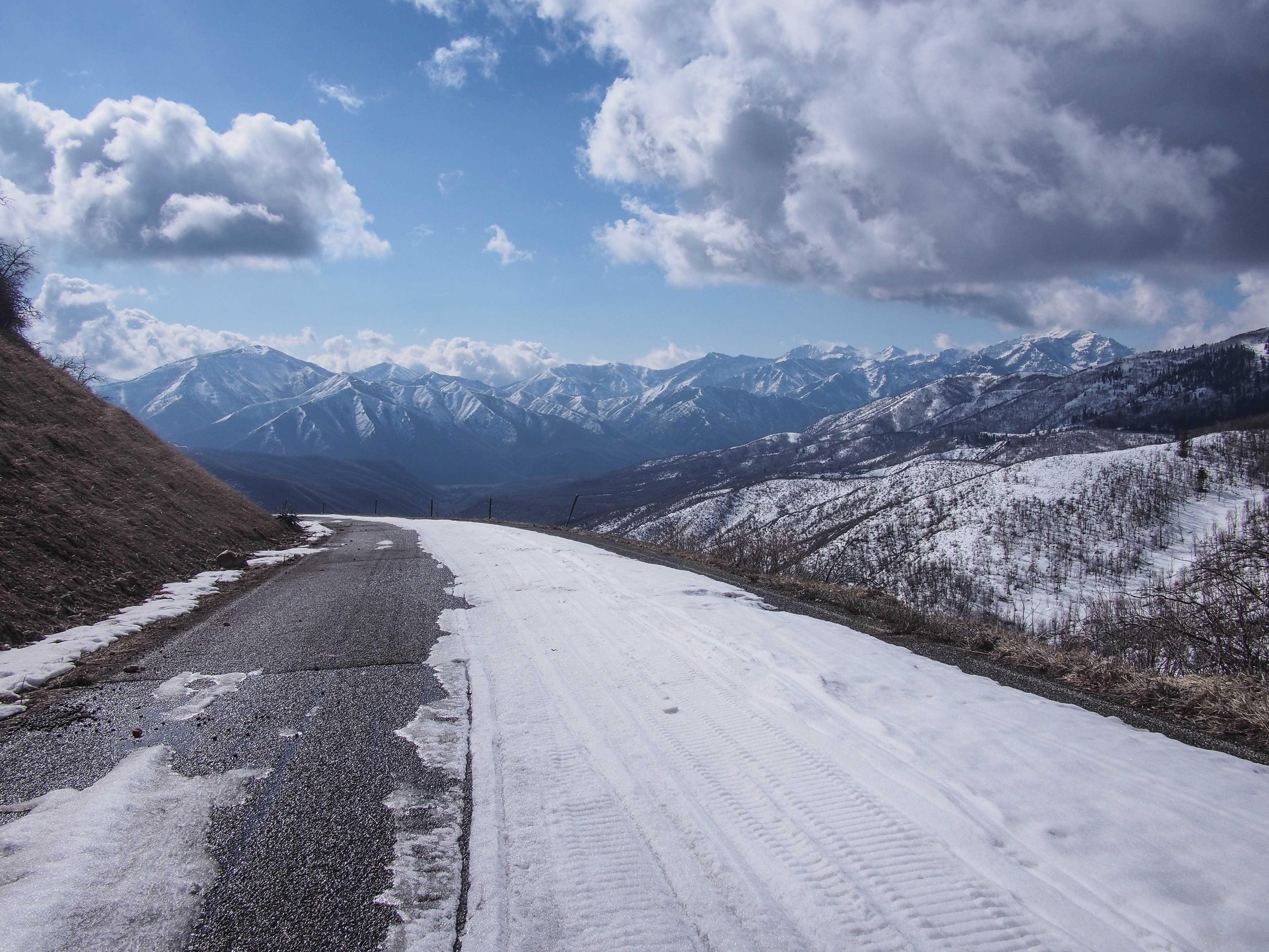
When we finally hit snow it was firm and solid. It made for nice riding almost all the way to the summit.
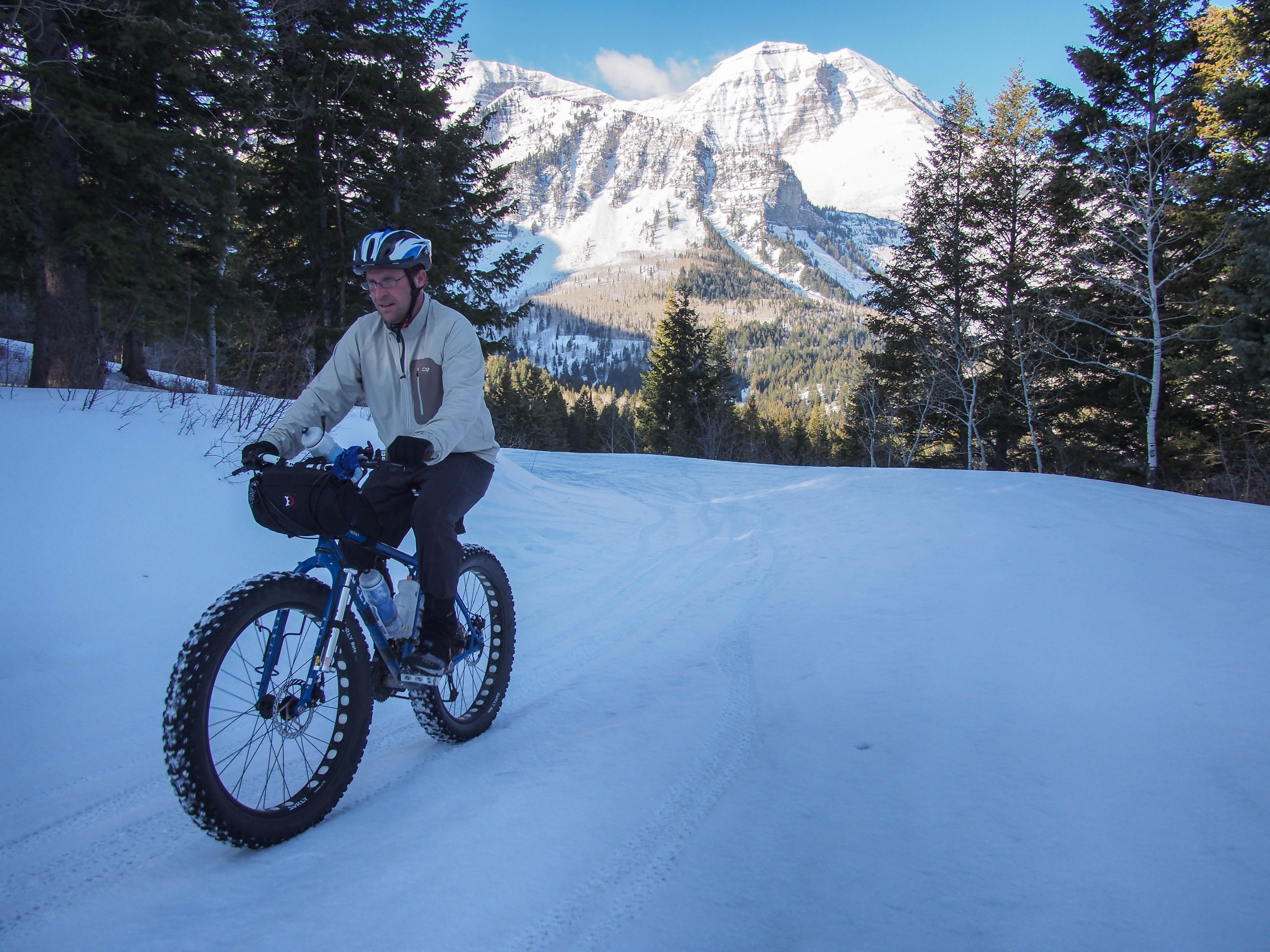
Part way up the Alpine Loop
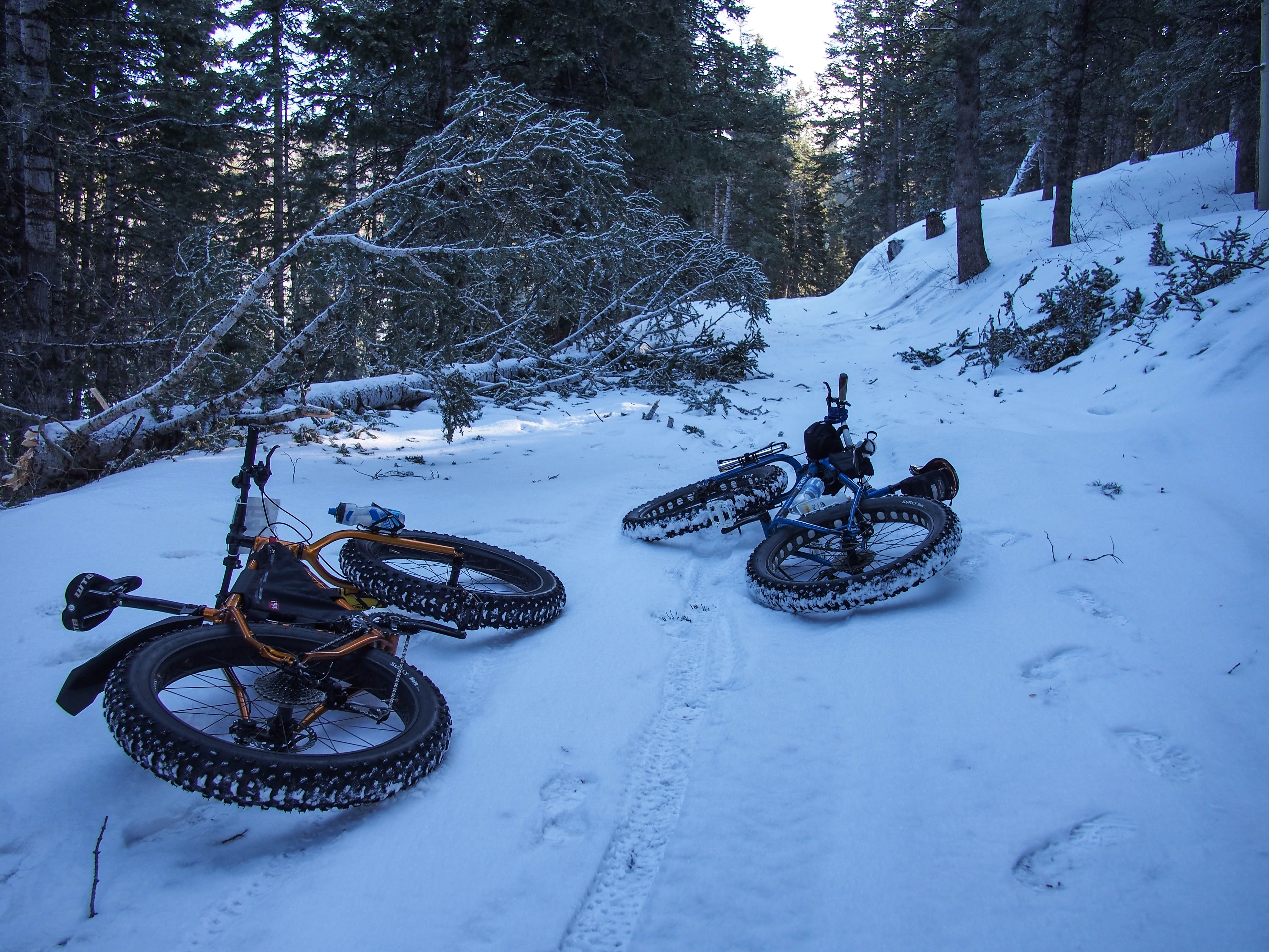
Downed tree; looked like it was hit by lightning.
It was a bit chilly until the sun came up.
The last half mile we broke through the crust a couple times, but nothing too bad.

Breaking through the crust near the summit.
We spent awhile on the summit relaxing, eating, and taking in the majestic scenery.
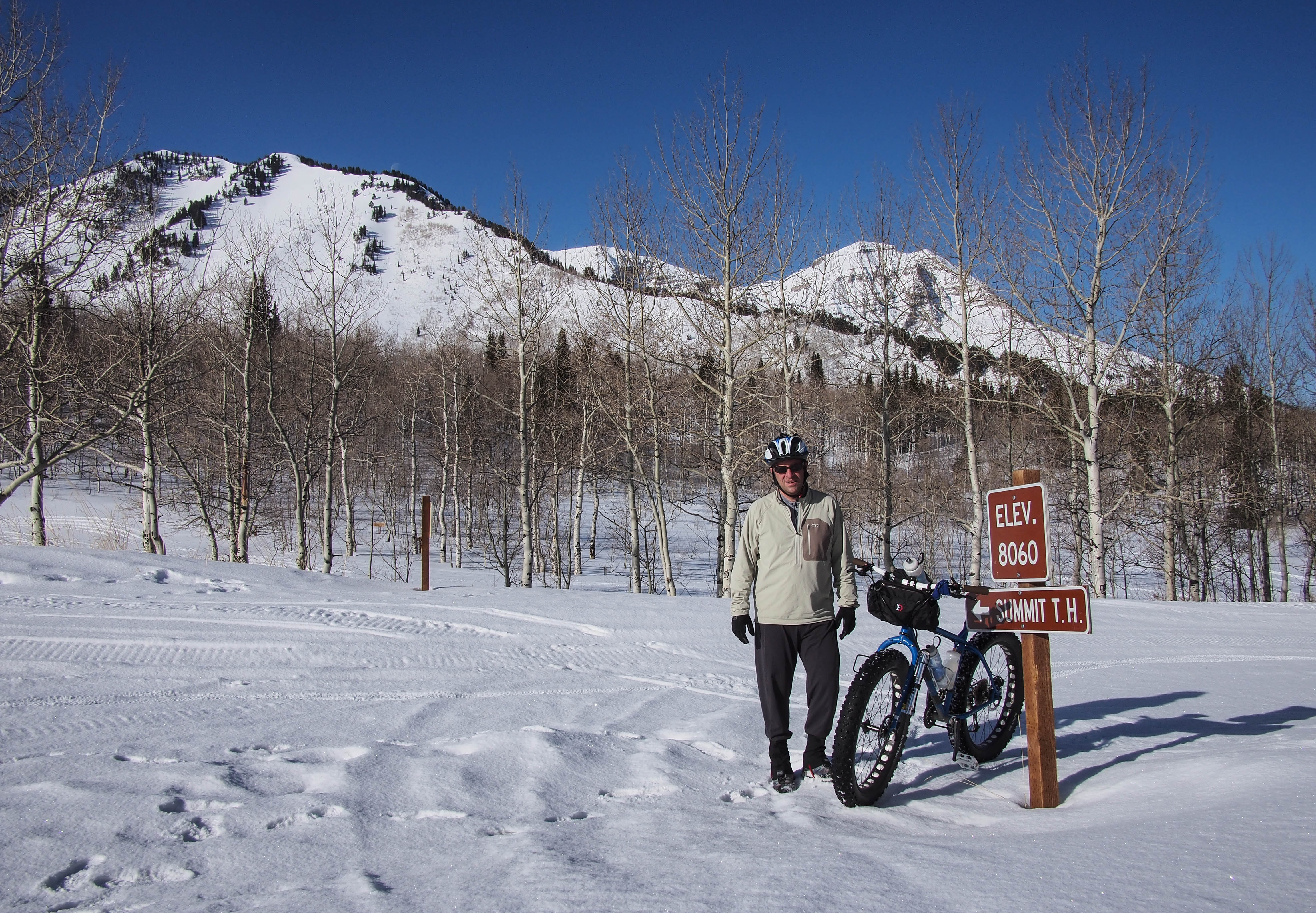
Alpine Loop summit.
Heading down the Cascade Springs Road.
Then it was a nice, fast, and chilly downhill. We headed down the Cascade Springs road. The snow was starting to soften but it was mostly hard and fast, with the occasional sinking through the crust to slow you down.
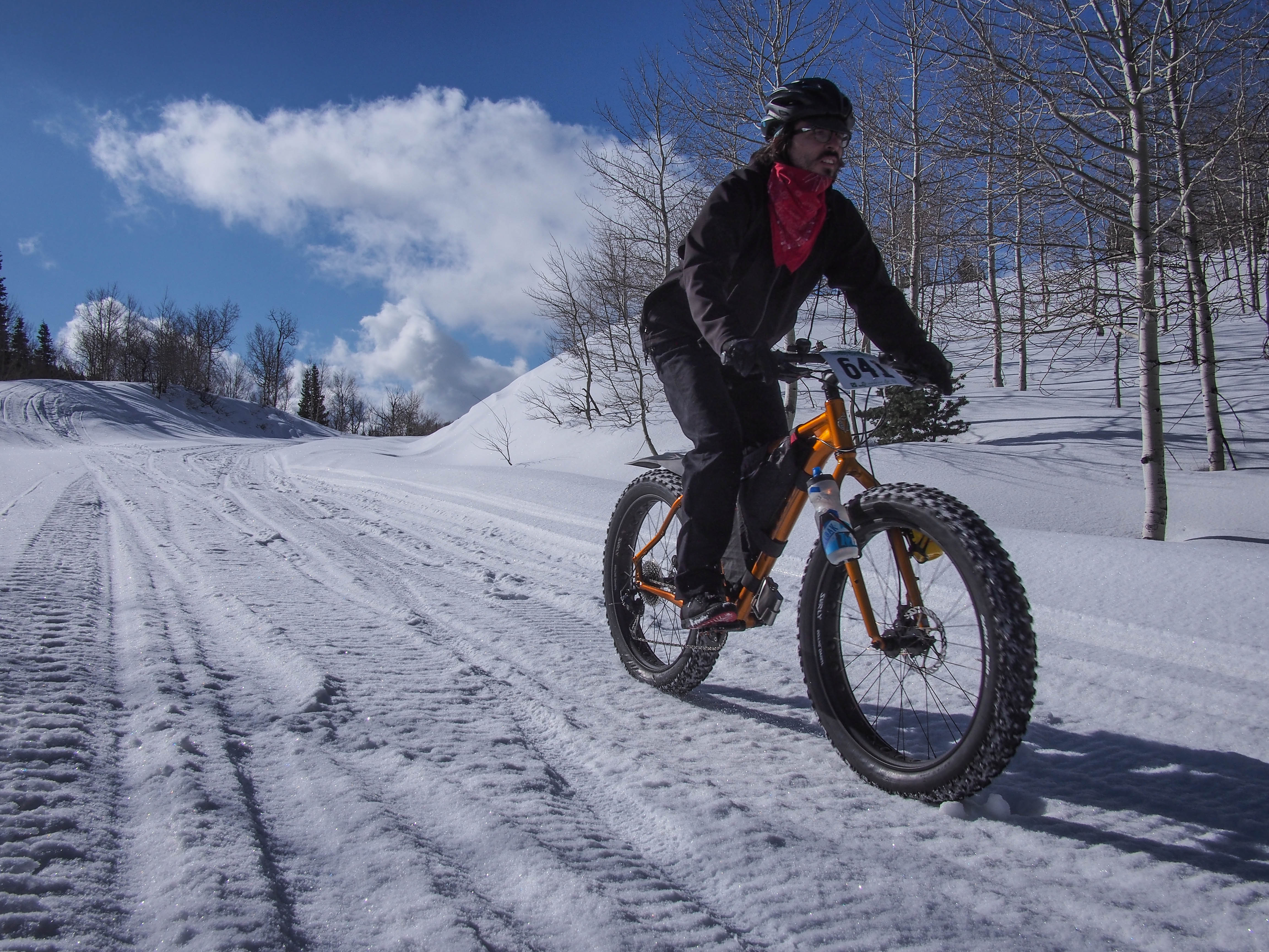
Fast descent.
Occasionally the snow had melted on the edges of the asphalt road, which made the riding even easier, though less fun on a fat bike.

Kent bottoming out on the Cascade Springs Road before climbing again
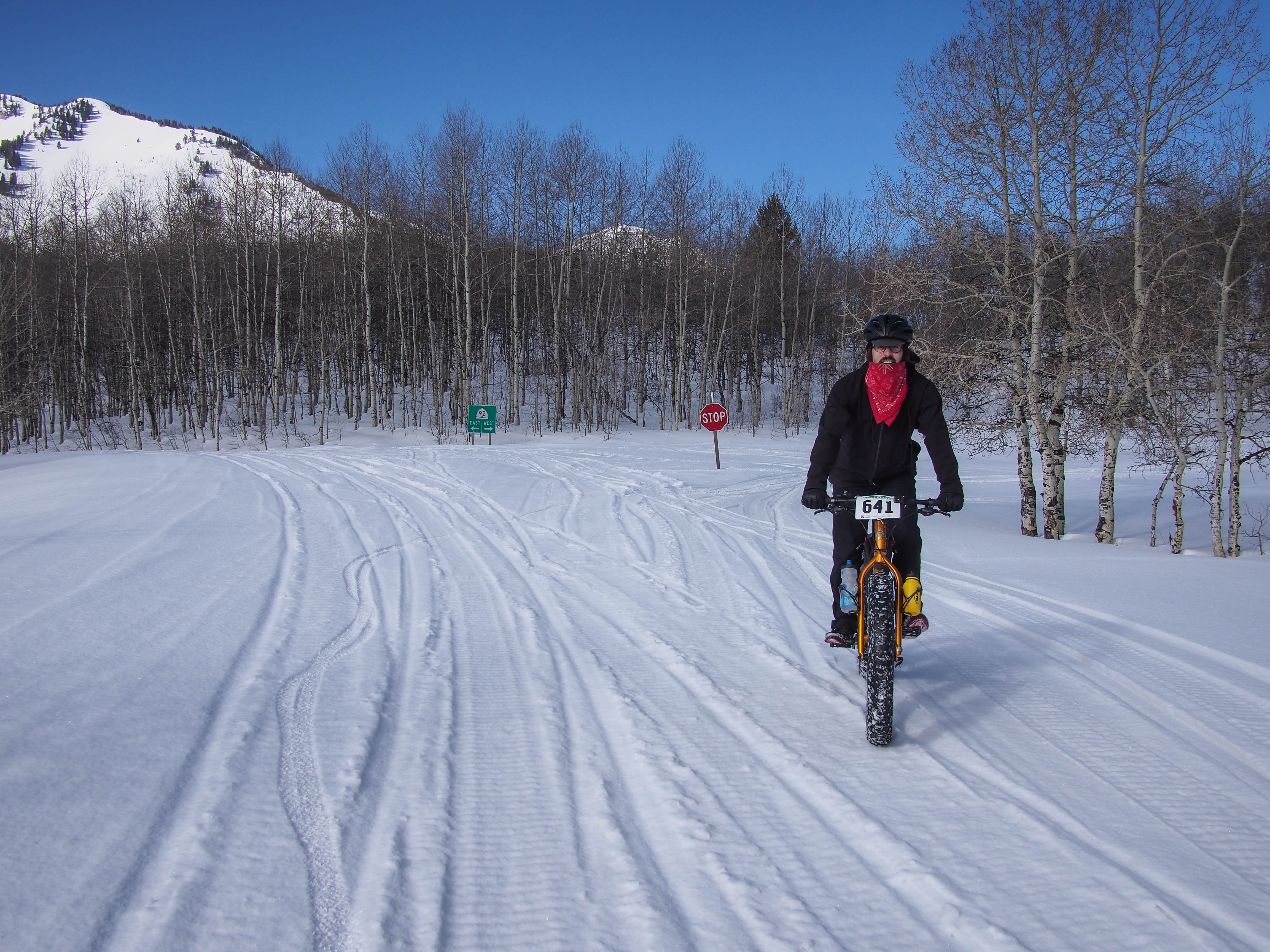
We alternated between snow and pavement, but mostly snow up high.
After living in Utah for 19 years, I had never been to Cascade Springs. We rode over and checked it out. It is pretty impressive and probably more so in the late Spring and Summer when it is really green. We had a nice time riding around on the narrow footpaths, and boardwalks.

Cascade Springs junction.

Cascade Springs bridge.
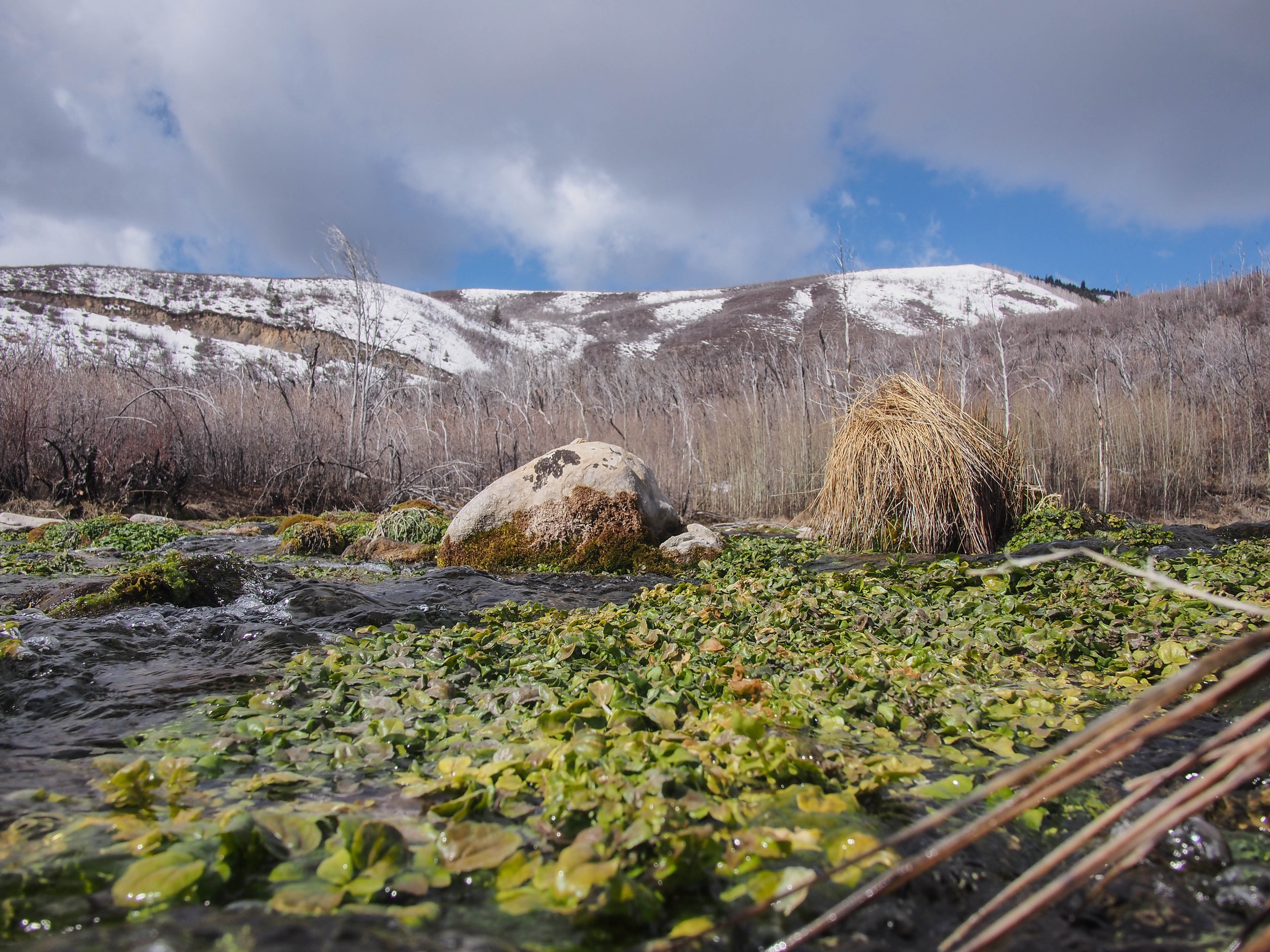
The source of the springs.

My friend, Nate.

The view above the springs.
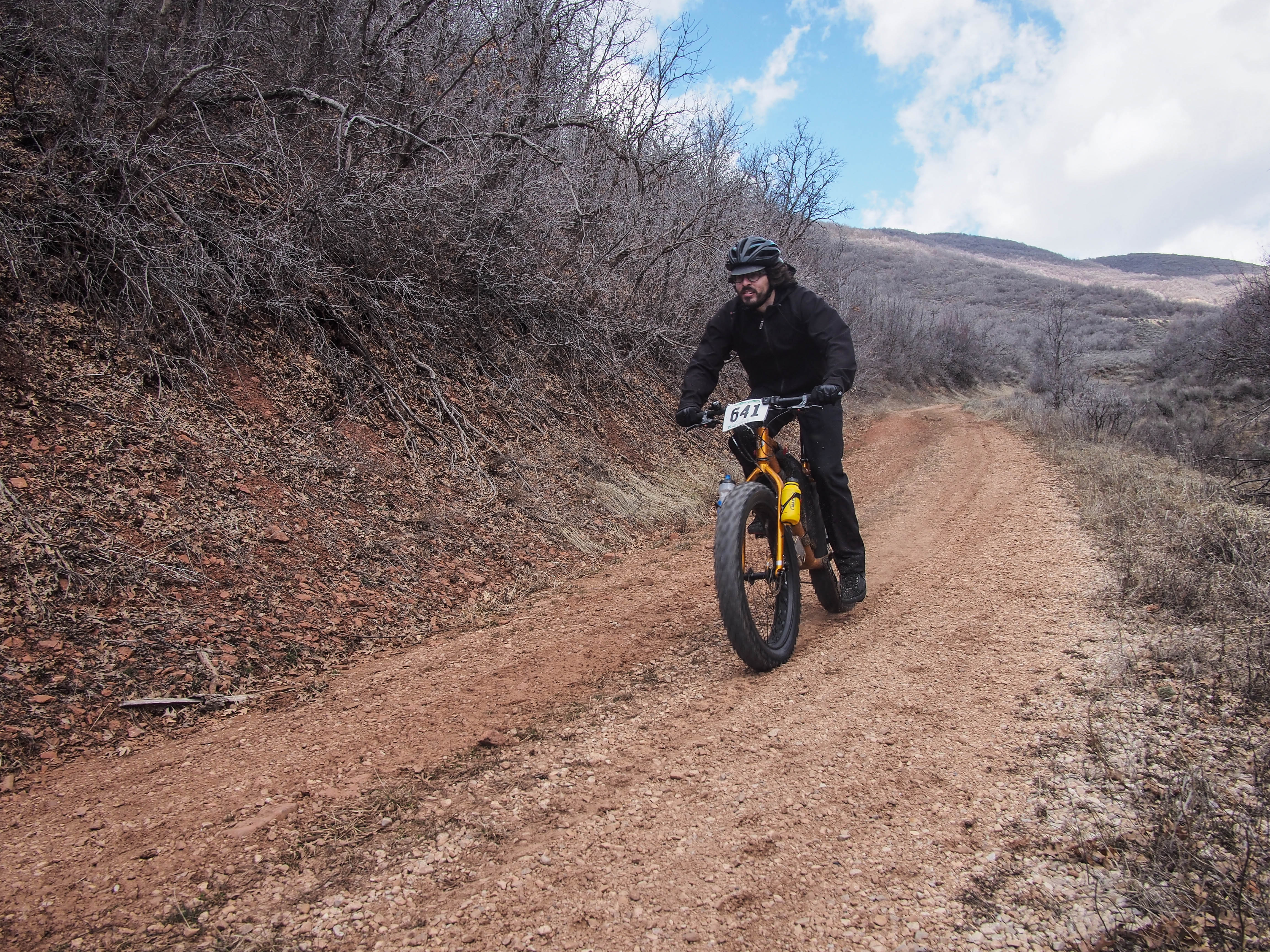
We then headed up the roughly paved road toward Midway to a saddle. It was really steep going, up to 17% grade, but the climb was only .8 miles. At the saddle the road turned to graded dirt and gravel, snow and mud in the shade, and dry dirt on the sunny sections.

Looking back toward Cascade Springs; this road pitched up to a 17% grade.

The dirt Cascade Springs Road to Midway.

Kent, inadvertent selfie.
The day was nice when the sun was out, and chilly when it went behind the clouds. It was another fun, fast descent down to Decker Road. It’s optimistic to call this a road; it is really a double track that turns into a faint track on grass.

This is a cattle grazing area, so we passed three different gates. The landowners (I think there is a ranch somewhere down there) are gracious enough to allow people to pass through. The signs at the gates simply say “Close the gate after you.”
Decker Rd. starts as dirt, the eventually turns to grass.

The smooth, fast Decker Rd.

Down Decker Rd.
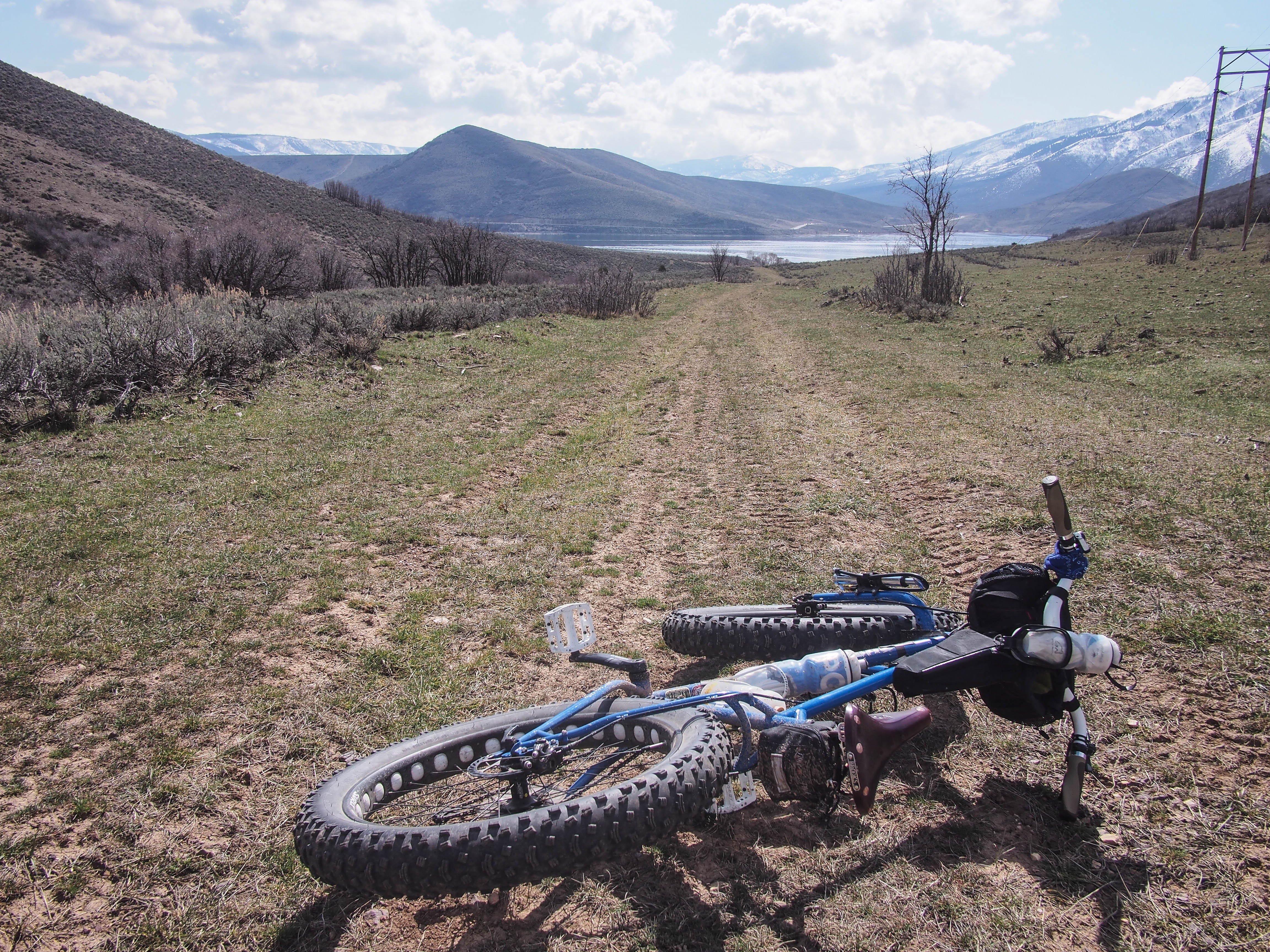
This was a really nice descent on soft dirt and grass all the way to the Provo/Jordan River trail that goes along Deer Creek Reservoir on the far side, opposite the highway. It is a nice wide, dirt and gravel path that travels from Deer Creek Dam to near Soldier Hollow, in 7.5 miles. Once we hit the trail we headed toward the Dam.

- Provo River trail along Deer Creek Reservoir.

The Heber Creeper steam train.

A month ago they were ice fishing here.
Once we reached the parking lot at the dam, our plan was to head down Provo Canyon without riding the pavement, that is, the busy highway. There are all kinds of paths it seems down along the river, and I figured, if all else failed, we could ride along the railroad tracks. We crossed the highway on the bike path, then headed down a road that crossed the river and looked promising. After 1/4 mile the road was blocked with a gate, locked tight. We then went back to the other side of the river and rode the bike path, until it turned into a dirt road, that finally petered out. We dragged our bikes down a steep bank to the railroad tracks and rode alongside the tracks in the rocks until Kent noticed his tire was losing air.
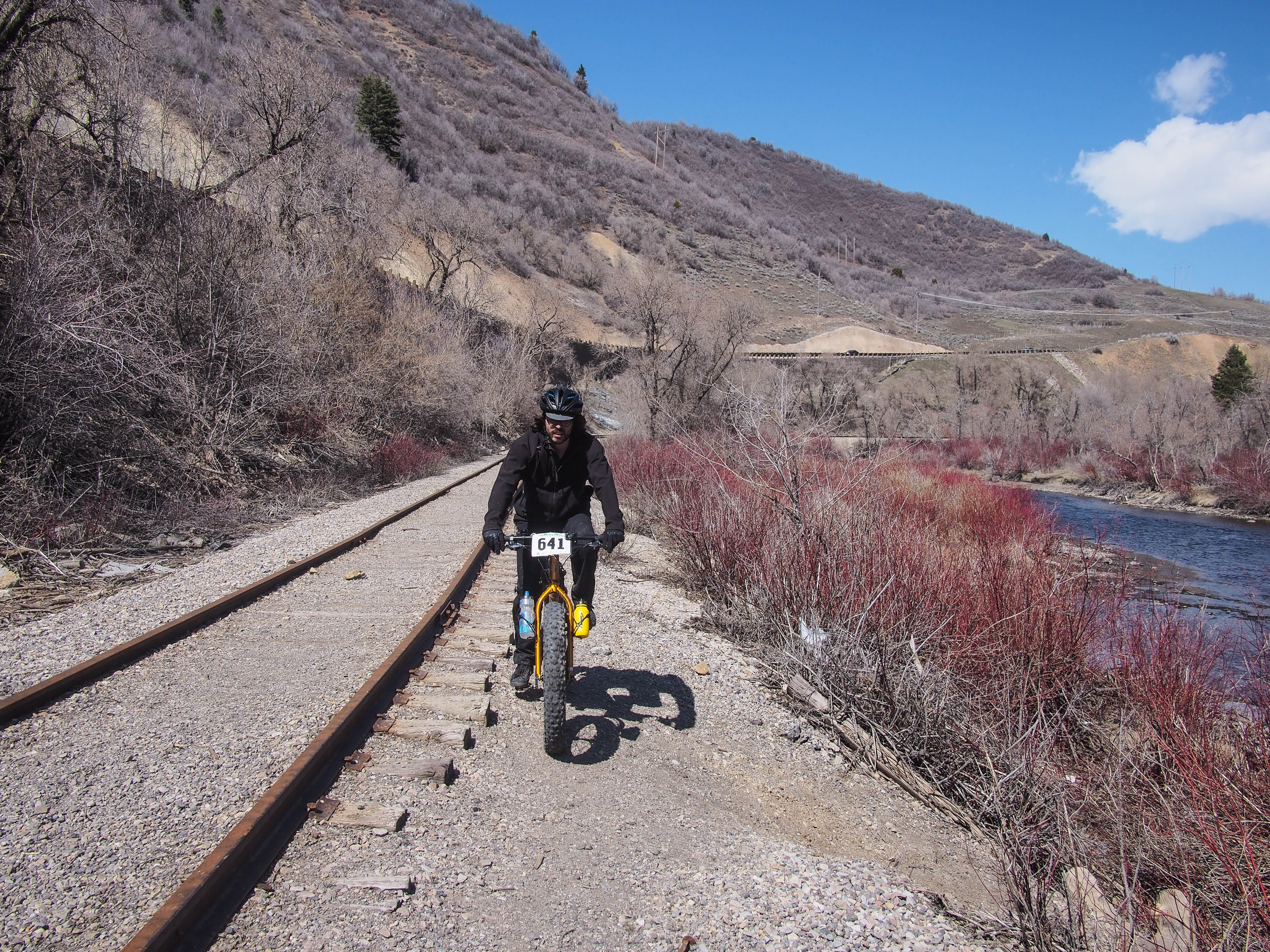
Riding the rails.

We stopped to fix it then proceeded down the tracks. It was mostly pretty good riding along the edge of the tracks. Occasionally we would ride down the center of the tracks, especially if the dirt had built up over the railroad ties and it was smooth. After awhile, we left the tracks following a faint fisherman’s trail along the river. It was good soft riding while it lasted, but it didn’t last long.We ended up bushwhacking through the brush back up to the tracks which we rode the rest of the way to Vivian Park.

Fisherman’s trail.

Riding along the Provo River.

Kent’s tiring was losing air again so we stopped at Vivian and he replaced his tube. We then rode the paved Provo River Trail back to Provo and home. At Bridalveil Falls the avalanche debris was still there from the large avalanche several weeks ago. The rock hard snow was piled up about 15 feet across the trail and we had to heft our bikes up and over it on slippery steps.

Avalanche debris at Bridalveil Falls.
Other than strong headwinds all the way down Provo Canyon, it was a very pleasant ride.
It was a really nice ride and was fun to get snow and dirt all in one ride. The snow is melting fast. Where there is snow melting there is mud, but elsewhere the dirt was dry and made for nice riding. I rode a total of 37 miles, and a few more for Kent who lives further away than I do, and we were out about 7 1/2 hours which included our two stops to fix flat tires. This ride would not be much fun once the snow melts as it would be mostly on pavement, but for Winter or Spring ride it was great.

Awesome! Rad Adventure blog!
Love these photos. Favorite: Riding the rails.